
CALGARY -- There's an argument to be made that the least convenient part of the day will be that wind chill. What a cold front last night! If you had eyes peeled to the northwest, a beautiful look at this weather-maker was provided. Those photographs are at the end of the article.
This Alberta clipper will make passage to Manitoba by this evening, and its counter-clockwise flow will keep that wind strong from the north and north-northwest as we work through the day. As that low moves along, the wind will 'diminish,' but I'm using that word in quotations loosely. Gusts in the 60s will persist into the afternoon, even as the bulk of the storm's moisture passes us by into a mix of sun and cloud.
Here's what our wind has been up to so far:
Beyond this trough, we're back to a wave of high pressure. I alluded to this Friday, but we're back into the second cycle of winter, recovery, and warmth. Tomorrow, wind will continue out of the northwest, but it's the exit region of a ridge, which will bring in copacetic sunshine and warmth by our midweek.
Your five-day forecast:
Monday:
- Windy, partly cloudy
- Daytime high: -3 C
- Evening: partly cloudy, diminishing gusts, low -10 C
Tuesday:
- Some cloud
- Daytime high: 2 C
- Evening: clearing, low -1 C
Wednesday:
- Mainly sunny
- Daytime high: 12 C
- Evening: mainly clear, low 0 C
Thursday:
- Mainly sunny
- Daytime high: 15 C
- Evening: mainly clear, low 2 C
Friday:
- Partly cloudy
- Daytime high: 9 C
- Evening: Partly cloudy, low -1 C
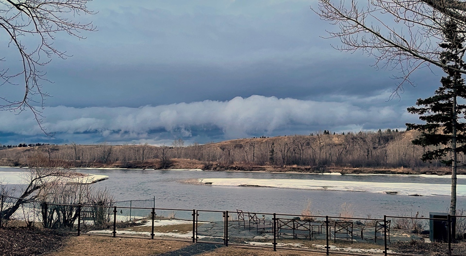
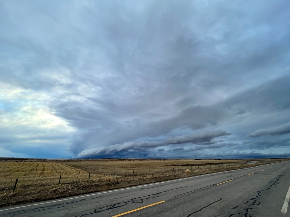
Today's photos are focused on the shelf cloud that travelled along this massive cold front.
Paul caught a shot head-on from Bowness:
And Kevin took a more synoptic profile from Airdrie.
You can submit your weather photos here, or email me: Kevin Stanfield


