
CALGARY -- An upper ridge of high pressure remains to start the week, after popping us to 9 C yesterday. That will have a similar effect today and tomorrow. While Calgary doesn't fall under Environment Canada's wind warning spread, we have already seen gusts this morning push to nearly 70 km/h.
This trend will continue Tuesday, but likely will get washed away by a cooler air mass through Wednesday. That'll trigger a trend downward, but we'll stay above seasonal throughout the working week! The instability derived from this change may bring a wave of flurries Wednesday, and mixed precipitation Friday. In spite of all that — and in spite of Wednesday's high likely being reached early and falling off —we're still expecting our highs to remain above-seasonal.
Has it been a warm winter so far? Here's a stat: Meteorological Winter lasts for 90 days – December through to February. We are on day 42, and so far, 29 (69.1%) of those have been somewhere in the positives. I'll have to do some further digging (and a lot of counting with a pointer-finger on charts) to tally up the totals. Watch for that as the day progresses on the CTV Calgary weather page and on Twitter!
Here's the five-day forecast:
Today:
- Chinook! Windy, some cloud
- Daytime high: 8 C
- Evening: mainly clear, low -2 C
Tomorrow:
- More chinook!
- Daytime high: 7 C
- Evening: some cloud, low 2 C
Wednesday:
- Partly cloudy, downtrend, late-day flurries possible
- Daytime high: 2 C
- Evening: some cloud, low -3 C
Thursday:
- Mainly sunny
- Daytime high: 1 C
- Evening: some cloud, low -8 C
Friday:
- Partly cloudy, late-day flurry risk
- Daytime high: 3 C
- Evening: chance of flurries, low -1 C
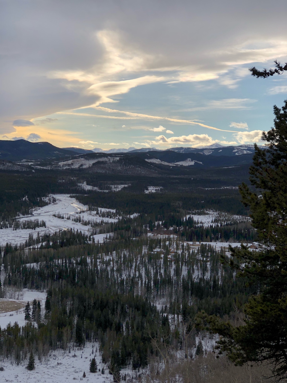
In our viewer photos: Joyce snapped a nice shot while snowshoeing in Bragg Creek:
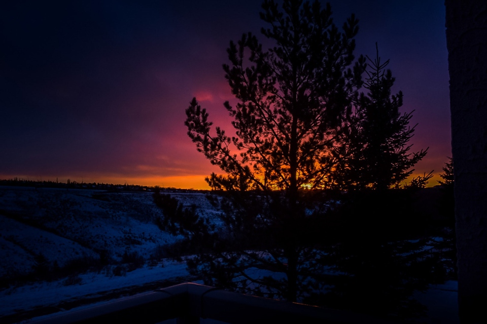
And Beatrice caught this brilliant sunrise in our province!
You can submit your weather photo here, or email me here! Kevin Stanfield


