
CALGARY -- This is going to be one of those shorter articles. Frankly, if it's going to happen, Friday is the best day for it.
We're into the thick of westerly wind aloft today. Our upper air is going to drive that home for a few days, generating some minor gusts for this afternoon and bringing about highs in the double-digits straight through the weekend. Those gusts may push into the 30 km/h range, and that'll be it.
B.C. will likely see some pretty heavy coastal precipitation, and some of that is going to work its way inland; when it arrives on the windward side of the Rockies, it'll be hard-pressed to make that full push. This is all to say we could see chinook-like conditions on our side of the mountains, with wind along the foothills going beyond our potential 30 km/h parameter, and perhaps pushing into the 80s.
The "get outside and stay there" five-day forecast:
Today:
- Sunny
- Daytime high: 12 C
- Evening: mainly clear, low 0 C
Saturday:
- Sunny
- Daytime high: 11 C
- Evening: mainly clear, low 1 C
Sunday:
- Mostly sunny
- Daytime high: 12 C
- Evening: mainly clear, low -3 C
Monday:
- Partly cloudy
- Daytime high: 6 C
- Evening: mainly cloudy, low -4 C
Tuesday:
- Partly cloudy
- Daytime high: 6 C
- Evening: mainly cloudy, low -3 C
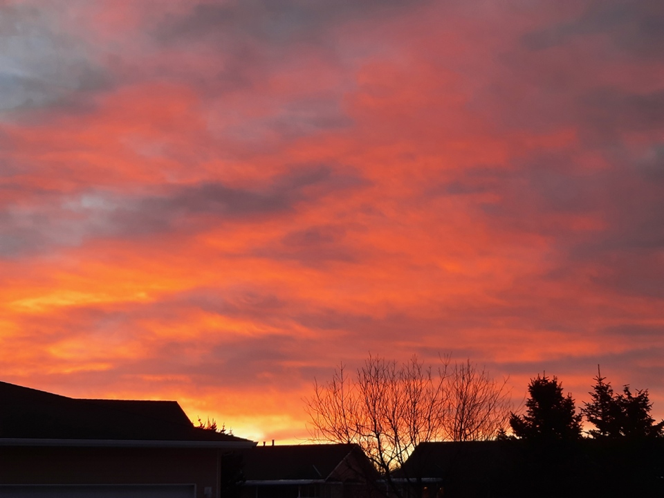
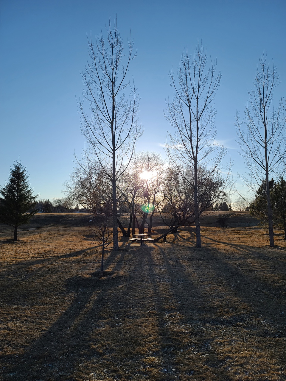
Our photos today come from Heather in High River with a lovely sunrise, and Treena in Brooks showing the moments just past the sunrise!
You can submit your weather photos here, or email me: Kevin Stanfield


