CALGARY -- Monday was all over the map. Between the meteor at 6:23 and the thundersnow in the 9 o'clock hour, we were kept busy! I chatted yesterday about that cold frontal passage that was expected to rip by, and it generated quite the light show.
Here's a quick breakdown on how thundersnow develops:
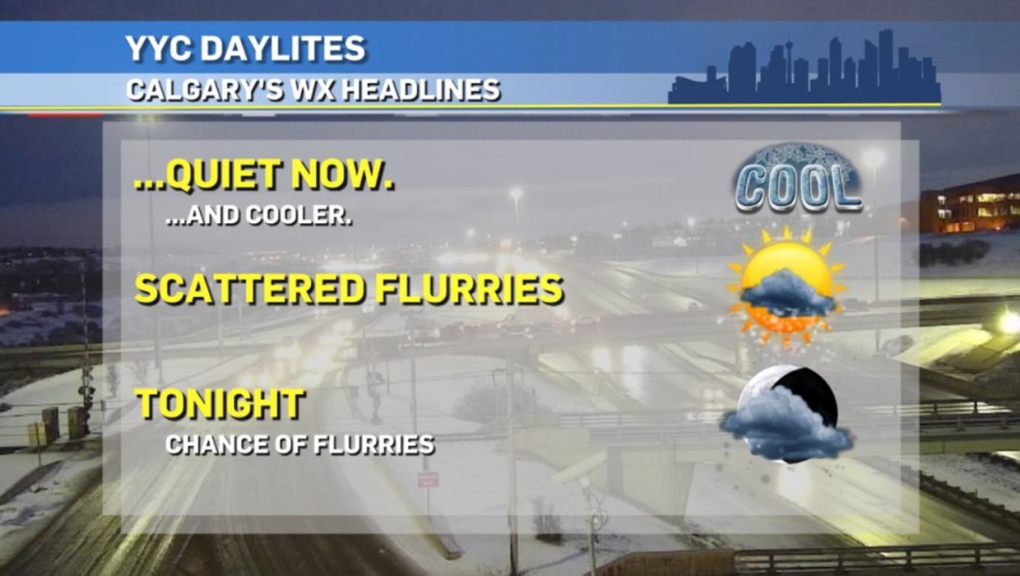
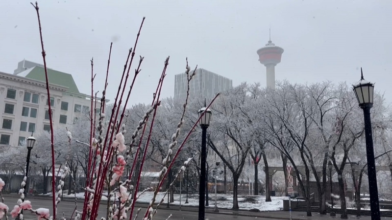
On to today: there ARE forecast models displaying marginal instability this afternoon. It's a small chance, but perhaps more of that fancy thundersnow could roil off the foothills in a spot or two. But it's a small chance. Otherwise, we're looking at one to two centimetres of fresh snow on the ground by tomorrow morning.
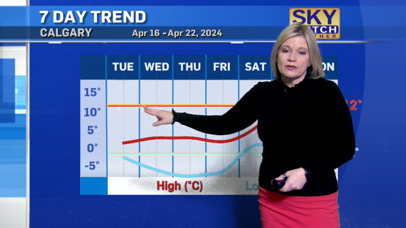
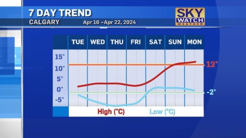
Otherwise, our upper air is lilting in from the northwest for a couple of days, which brings about cool conditions – heaven forbid I call it "cold!" I wouldn't believe it if I said it, compared to what else February has had on offer. By Thursday, westerly wind returns for a little bit.
Here's the five-day forecast:
Today:
- Snow showers
- Daytime high: 1 C
- Evening: mainly clear, low -8 C
Wednesday:
- Mainly sunny
- Daytime high: -2 C
- Evening: mainly clear, low -4 C
Thursday:
- Partly cloudy
- Daytime high: 2 C
- Evening: building flurries, low -4 C
Friday:
- PM snow showers
- Daytime high: -1 C
- Evening: more snow, low -12 C
Saturday:
- AM flurries
- Daytime high: -7 C
- Evening: more snow, low -8 C
Photos today are from one heck of a birder, Patrice, who captured these Bohemian Waxwings!

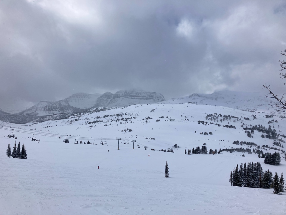
And Marni, enjoying a day at Sunshine Village:
You can submit your weather photos here, or email me here! Kevin Stanfield
