
CALGARY -- It depends on your perspective, but the next few of these articles will be mercifully short.
That's because of a wave of air currently affecting us at the time of this writing. Our wind is out of the north-northwest and hunkering in near 30 km/h. That will likely continue into the late morning, heralding the arrival of a polar high sweeping in.
Colder air is denser than warmer air. When a pool of cold air arrives, it pushes everything else away. That's what's on the way, and that's what keeps our temperatures below seasonal for a few days.
Note the lows, as well. They are quite chilly at times because of this ongoing clarity. When we have clear conditions, the latent heat gathered and collected at the surface over our daylight hours rises and escapes. If we have a layer of cloud, some of that latent heat is insulated by it. As I said earlier in this very paragraph, we have plenty of "ongoing clarity" – therefore, we shouldn’t expect our mild daytime temperatures to stick around overnight.
Here's the five-day forecast:
Today:
- Mostly sunny, breezes break by noon
- Daytime high: -7 C
- Evening: mainly cloudy, low -11 C
Thursday:
- Mostly sunny
- Daytime high: 1 C
- Evening: some cloud, low -8 C
Friday:
- Sunny
- Daytime high: 1 C
- Evening: mainly cloudy, low -3 C
Saturday:
- Mostly sunny
- Daytime high: 4 C
- Evening: mainly clear, low -9 C
Sunday:
- Mostly sunny
- Daytime high: -2 C
- Evening: mainly clear, low -8 C
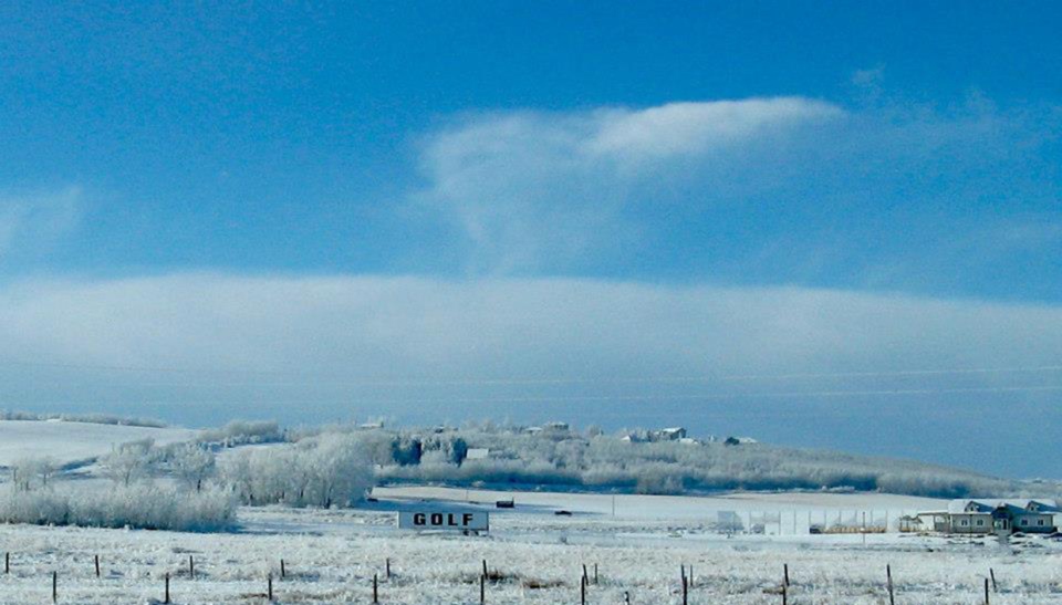
William found some irony in this sign while the Masters gets underway. I cannot blame him.
You can submit your weather photos here.


 Collective clothing")


