CALGARY -- We’re continuing through this high-pressure region, with the possibility near and north of Calgary for isolated thundershower development. Owing to our heat today, storms that develop are likely to break into severe status, should they develop at all.
Continuing on our trend of upper-ridging, surface high pressure develops a cap for us today. High pressure gathers air aloft and brings it to the surface, which counteracts with the rising air that would otherwise deliver storms. Therefore, we need a lot of rising air to trigger active weather this far south today.
With this drastic change in conditions and warm, dry air dominating the forecast, it’s important to look at the other end of prairie-province concerns: check for fire bans in your area, and if you want a refresher on the differences between advisories, restrictions, and bans, along with proper fire pit safety, I spoke with a fire information officer in this video, here.
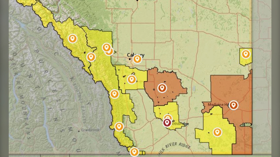
Our current fire bans map, as of July 28 at 6 a.m.:
Here’s the five-day.
Today:
Sunny, slight chance for a thundershower
Daytime high: 30 C
Evening: clearing, low 15 C
Wednesday:
Sunny
Daytime high: 28 C
Evening: mainly clear, low 16 C
Thursday:
Mainly sunny
Daytime high: 25 C
Evening: clear, low 15 C
Friday:
Partly cloudy
Daytime high: 25 C
Evening: clear, low 16 C
Saturday:
Partly cloudy
Daytime high: 28 C
Evening: clear, low 15 C
It sure isn’t snowing in July, but it can look like it with poplar fluff falling off the trees. Thanks for sending this one in, Darren.
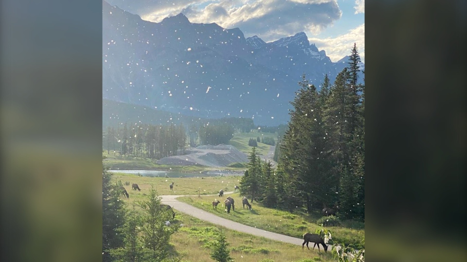
You can submit your weather photos here.


