
CALGARY -- We are still caught in the throes of the chilly Arctic air mass that is slowly trickling eastward – it's out along Manitoba and northern Ontario, now. The farther away it goes, the more we can lend to warming from our southwest.
And that's it. We expect by the weekend to improve back to seasonal, if only for a day (another little drop is expected next week), and we will gradually work the cloud away as the forecast pushes forward. So, enjoy the weekend, because it times out with the warmest weather we'll get for the next little while, accompanied by the sunniest weather we'll get for the next little while!
The longer-range forecast is projected to stay largely below seasonal and in the negatives, but deeper cooling, such as what we've dealt with over the past few days, is largely held off the page.
Here's the five-day forecast:
Today:
- Mainly cloudy, scattered flurries
- Daytime high: -11 C
- Evening: plenty of cloud, low -17 C
Thursday:
- Mainly cloudy
- Daytime high: -12 C
- Evening: some cloud, low -16 C
Friday:
- Partly cloudy
- Daytime high: -6 C
- Evening: mostly clear, low -12 C
Saturday:
- Mainly sunny
- Daytime high: -2 C
- Evening: mostly clear, low -11 C
Sunday:
- Sunny
- Daytime high: 0 C
- Evening: mostly clear, low -6 C
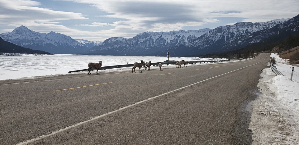
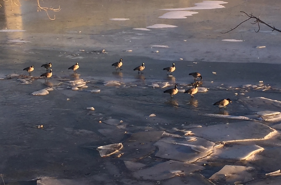
Our photos today come from Preeti and Dennis; Preeti caught some roadside wildlife enjoying the quieter roads, and Dennis spotted some sunning geese on the South Saskatchewan!
You can submit your weather photos here, or email me here! Kevin Stanfield


