
CALGARY -- I really wish I had more beyond what was provided yesterday from the article, but we're closer to the end of the cold wave.
We're lingering under an arctic air mass and have no designs on its departure for another 72 hours. Wind chill values in southern Alberta will be, at their worst, within a couple degrees of -25 billowed along by sustained wind values in the 15 km/h range with occasional mid-20s gusts.
This arctic ridge will give way to a deepening Pacific Low, which will descend into the California Pacific and push warmer air into our region from the southwest – it's going to take a tremendous amount of energy to "fix" our temperatures from this cold snap, so we can expect the recovery to be quite gradual.
Patience is key! There are no guarantees that we pass through the next couple of days and see brighter climes ahead. After the winter we've had, it should come as no surprise that we're still well above the norm.
Here's the five-day forecast:
Today:
- Mainly cloudy, scattered flurries
- Daytime high: -11 C
- Evening: overnight flurries, low -16 C
Wednesday:
- Mainly cloudy, scattered flurries
- Daytime high: -13 C
- Evening: overnight flurries, low -19 C
Thursday:
- Partly cloudy, off-and-on flurries
- Daytime high: -14 C
- Evening: some cloud, low -16 C
Friday:
- Mainly sunny
- Daytime high: -7 C
- Evening: mostly clear, low -12 C
Saturday:
- Mainly sunny
- Daytime high: -4 C
- Evening: mostly clear, low -10 C
Four photos today!
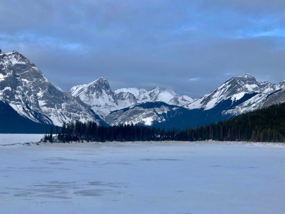
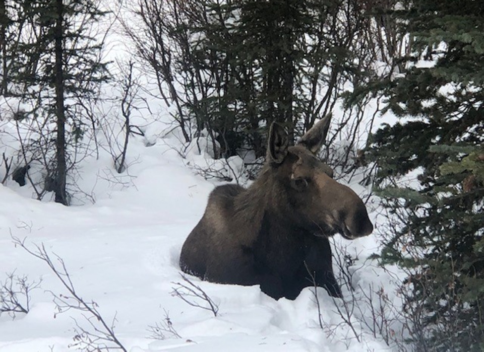
We'll start with two from Thomas – he snapped a great shot of Upper Kananaskis Lake, then doubled down with a moose sighting!
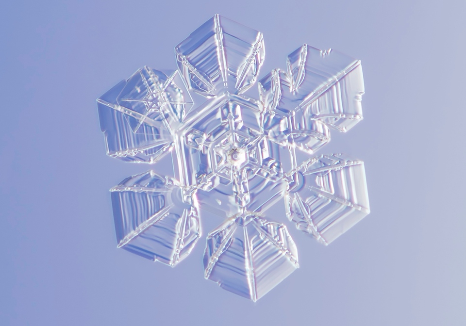
Next, Jim sent in this nifty snowflake photo:
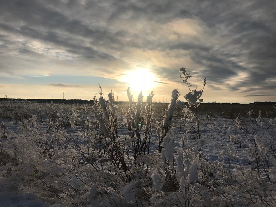
And lastly, Darcy out in Copperfield caught this magnificent sunset.
You can submit your weather photos here, or email me here! Kevin Stanfield


