
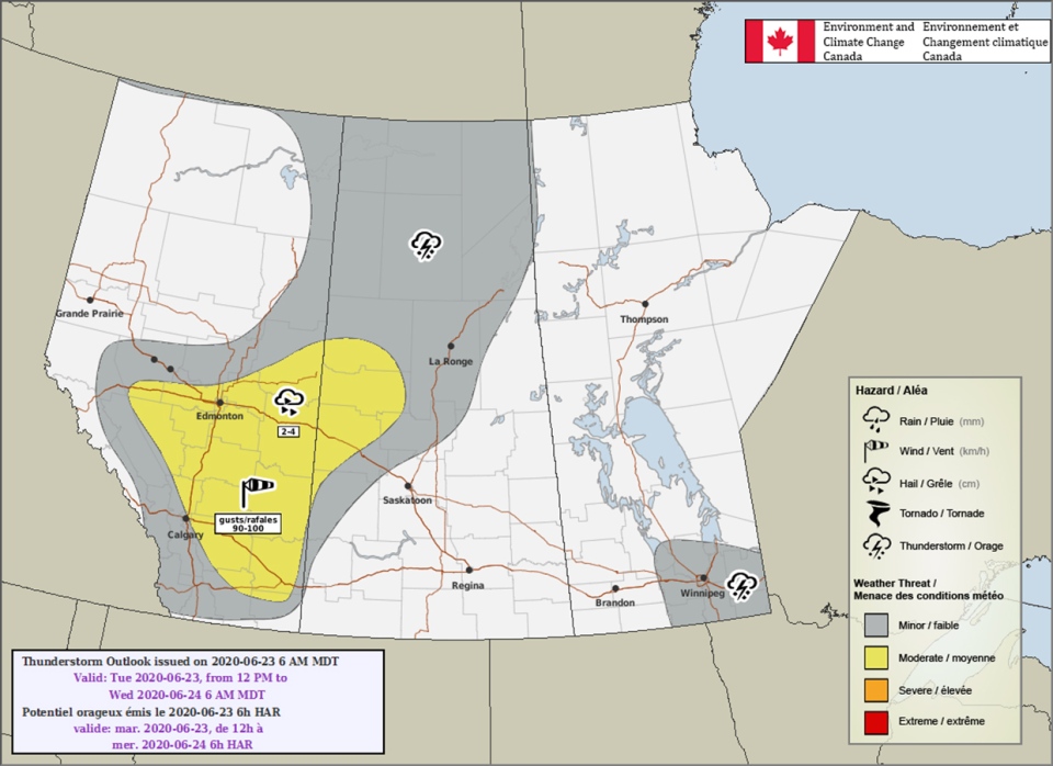
CALGARY -- We’re into our final look at a weakening upper ridge that is cascading further southeast over the course of the day, making room for a trough to swoop in and act as they do: it will push cool air through, which will last us through the weekend. We’re keeping an eye on the edge of this trough today, as it could be the trigger-point for stormy activity that has a chance to affect Calgary, but is even more likely to develop further east of us, with more than enough strength piling through to create quarter-sized hail and 100 km/h wind gusts. While Calgary may be situated in the zone of development for these storms, seeing that instability build to greater magnitude north of us is even more probable today.
Here is Environment Canada’s Convective Outlook for the system:
As we push into the weekend, the bulk of this trough, currently positioned to our far northwest, will sink through and drop us into a prolonged, cooler state. This will limit thundershower potential, but will also open the door for additional rain. More on that as we get further into the week.
The forecast for the next five:
Today:
- Building cloud, chance of afternoon showers/thundershowers
- Daytime high: 27°
- Wind: W 15-20 km/h, gusts 30-40 km/h
- Tonight: storm potential, low 13°
Tomorrow:
- Early clarity, building cloud to showers or thundershowers in the afternoon
- Daytime high: 22°
- Evening: chance of showers, low 11°
Thursday:
- Mainly sunny
- Daytime high: 21°
- Evening: Some cloud, low 12°
Friday:
- Partly cloudy
- Daytime high: 20°
- Evening: chance of showers, low 11°
Saturday:
- Showers
- Daytime high: 15°
- Evening: still more showers, low 9°
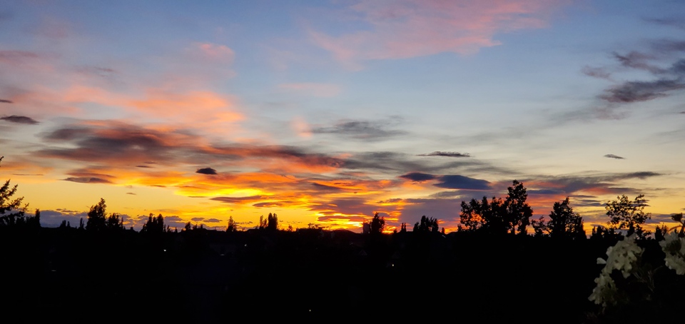
Photo of the day titled “Summer Cinders,” sent by Donald.


 Collective clothing")


