
CALGARY -- The "Trifecta" is back — that's a wave of high pressure, a strong burst of sunlight, and a wave of westerly wind, all culminating together — and could break a record today:. The current record of 12.8 C was set back in 1939, and – well, you'll see how warm we look below!
High pressure is expected to persist for a few days to follow, and we're back into "boring" forecast conditions past today, where high pressure dominates and keeps us far above seasonal.
That's it. That's the article. I'll bring in a neat science fact tomorrow!
As a reminder for the youths: reach out to me at the bottom with both weather photos, AND with Weather in the Classroom requests! I figured Zoom out and would love to help weather units across the school board.
Here's the five-day forecast:
Today:
- Sunny
- Daytime high: 15 C*
- Evening: clear, low 6 C
- * Record high: 12.8 C, 1939
Friday:
- Mainly sunny
- Daytime high: 9 C
- Evening: clear, low 2 C
Saturday:
- Mainly sunny
- Daytime high: 13 C
- Evening: clear, low 7 C
Sunday:
- Mainly sunny
- Daytime high: 13 C
- Evening: clear, low 5 C
Monday:
- Mainly sunny
- Daytime high: 13 C
- Evening: clear, low 5 C
Weather photo time!
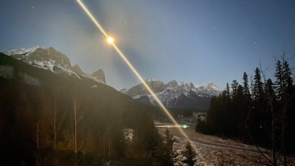
Darren snapped a magnificent moonset at Ha Ling Peak!
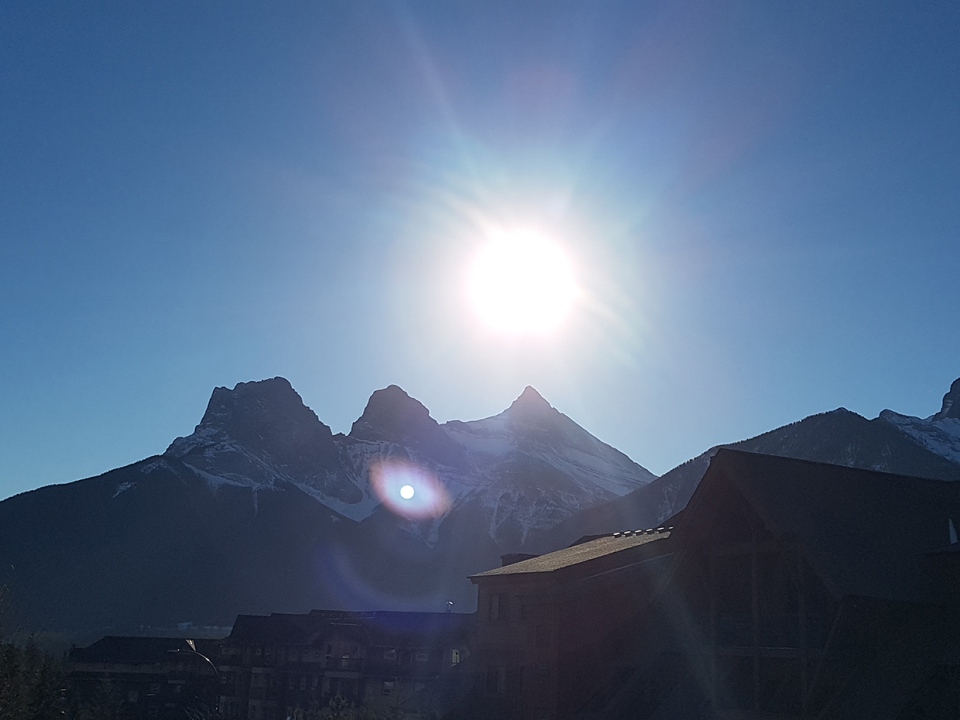
…and the mountains must have been extra photogenic, since Connie caught this amazing shot of the Three Sisters, too!
You can submit your weather photos here, or email them over to Kevin Stanfield


