Seasonal in Calgary toward the weekend… but flurries coming late Friday
While the initial ridge of high pressure is dipping away, model forecasts from last week are being proven wrong in a pretty hefty manner; the expected dip will have a westerly effect on us once again, promoting some warm air advection and, as we should expect for the later days of March, a wee warm-up by the 22nd.
From it, expect temps to bump up to near-seasonal, but, for the time being, that's where the line gets drawn; even Friday, which seems to be the unanimous 'warmest of the week' is just barely above the marker on this cooler of a March.
Friday also opens up to a risk of evening flurries, with a small possibility that as we enter a band of convection, thundersnow may form in the wake. Five-day-out shot-in-the-dark thundersnow callouts are not exactly a forte, but we'll make one here.
Snowfall amounts range to five centimetres by the time we're through Saturday. Enjoy!
YOUR FIVE-DAY CALGARY FORECAST
Monday
- Mainly sunny
- Daytime high:3 C
- Evening: some cloud, low -5 C
Tuesday
- Sunny
- Daytime high: 1 C
- Evening: clear, low -8 C
Wednesday
- Sunny
- Daytime high: 5 C
- Evening: mostly clear, low -3 C
Thursday
- Sunny
- Daytime high: 5 C
- Evening: mainly clear, low -1 C
Friday
- Building cloud, late flurries
- Daytime high: 7 C
- Evening: clear, low -5 C
Nyckie in Strathcona Park sent along this lovely sunrise.
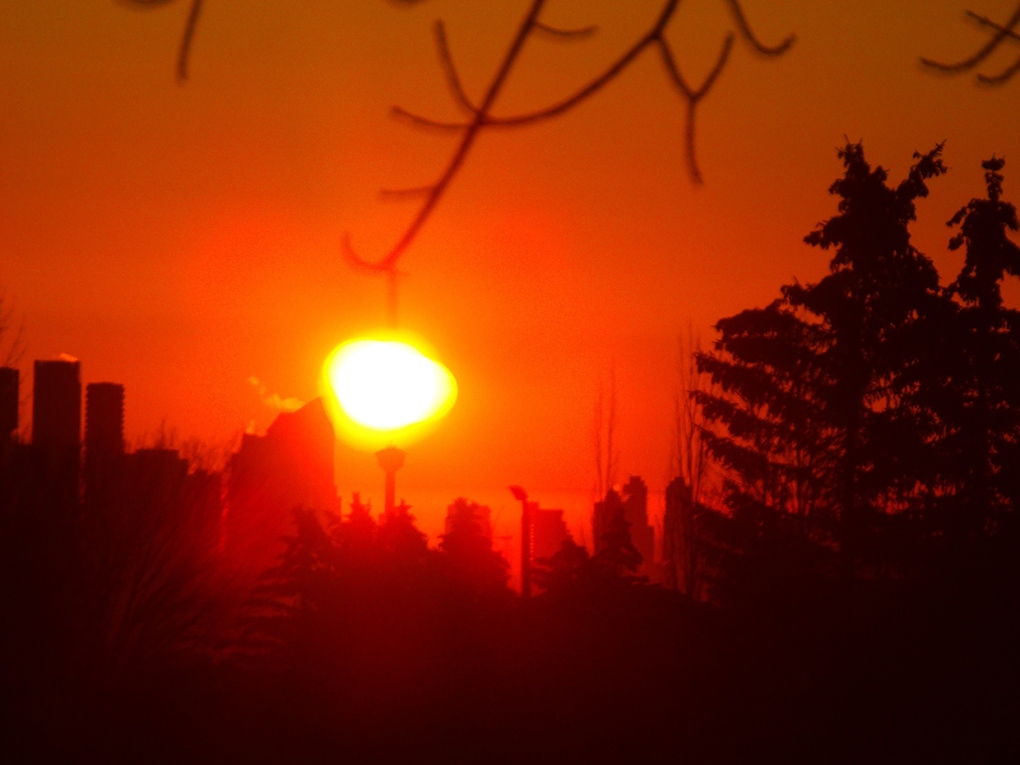 Viewer Nyckie captured this sunrise shot from Strathcona Park.
Submit your weather photos here to see them featured in our article, and perhaps even as the pic of the day during our News at Six! You can also share on Twitter, or to our Instagram at @CTVCalgaryWeather.
CTVNews.ca Top Stories

Young people 'tortured' if stolen vehicle operations fail, Montreal police tell MPs
One day after a Montreal police officer fired gunshots at a suspect in a stolen vehicle, senior officers were telling parliamentarians that organized crime groups are recruiting people as young as 15 in the city to steal cars so that they can be shipped overseas.
Mandisa, Grammy award-winning 'American Idol' alum, dead at 47
Soulful gospel artist Mandisa, a Grammy-winning singer who got her start as a contestant on 'American Idol' in 2006, has died, according to a statement on her verified social media. She was 47.
Man sets self on fire outside New York court where Trump trial underway
A man set himself on fire on Friday outside the New York courthouse where Donald Trump's historic hush-money trial was taking place as jury selection wrapped up, but officials said he did not appear to have been targeting Trump.
Sask. father found guilty of withholding daughter to prevent her from getting COVID-19 vaccine
Michael Gordon Jackson, a Saskatchewan man accused of abducting his daughter to prevent her from getting a COVID-19 vaccine, has been found guilty for contravention of a custody order.
She set out to find a husband in a year. Then she matched with a guy on a dating app on the other side of the world
Scottish comedian Samantha Hannah was working on a comedy show about finding a husband when Toby Hunter came into her life. What happened next surprised them both.
Shivering for health: The myths and truths of ice baths explained
In a climate of social media-endorsed wellness rituals, plunging into cold water has promised to aid muscle recovery, enhance mental health and support immune system function. But the evidence of such benefits sits on thin ice, according to researchers.
'It could be catastrophic': Woman says natural supplement contained hidden painkiller drug
A Manitoba woman thought she found a miracle natural supplement, but said a hidden ingredient wreaked havoc on her health.
Manitoba mom praises quick-thinking fire department for freeing daughter stuck in playground equipment
A Manitoba mother is praising firefighters for their quick work in helping her daughter who got stuck at a playground in Lorette, Man.
The Body Shop Canada explores sale as demand outpaces inventory: court filing
The Body Shop Canada is exploring a sale as it struggles to get its hands on enough inventory to keep up with "robust" sales after announcing it would file for creditor protection and close 33 stores.


