
CALGARY -- Our forecast today will again garner a double-digit high. I was shaky on that potential yesterday, but it's looking reasonably certain now.
High pressure will be the dominant facet in our outlook, with southern wind driving 20 km/h sustained values for a good chunk of the day. That wind originates in communities that will potentially reach 15C to 16 C today!
Tomorrow, that high-pressure ridge begins pushing along. The southwest-to-northeast track of our upper air will guide a good chunk of snow into parts of the B.C. interior, and will also offer showers in Banff. There's a slight chance those showers cascade our way but rainfall totals would be minimal.
Thereafter, we're in a "neutral region." There won't be any elements cranking the heat up, nor any conditions dropping us down. We'll skew toward whatever's natural, based on how much sunlight we get. That means we'll gradually start sinking back to normal, without any major drops in the immediate outlook.
The five-day forecast:
Today:
- Mainly sunny
- Daytime high: 10 C
- Evening: mainly clear, low 1 C
Saturday:
- Partly cloudy, chance of PM showers
- Daytime high: 7 C
- Evening: some cloud, low -4 C
Sunday:
- Mainly sunny
- Daytime high: 6 C
- Evening: some cloud, low -3 C
Monday:
- Partly cloudy
- Daytime high: 5 C
- Evening: chance of flurries, low -5 C
Tuesday:
- Partly cloudy
- Daytime high: 5 C
- Evening: chance of flurries, low -5 C
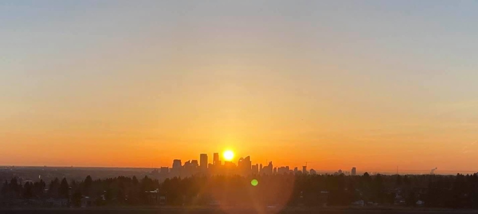
Our photo today is from Cheryl, who caught yesterday’s beautiful patina against the horizon:
Also from this morning:
You can submit your weather photos here, or email me: Kevin Stanfield


