
CALGARY -- Wednesday we ended up exceeding expectations late in the day and enjoyed 19 C weather. The wind was calm, conditions were beyond fair. It was a perfect day to commemorate David Spence's 40th anniversary with CTV.
On Thursday, the expected high is -1 C. The snowfall total should reach two centimetres. Walking surfaces are slick with melted snow and in some cases, ice. This is all thanks to a polar vortex pushing on our region.
How's that for Mother Nature playing favourites?
This band of precipitation should be largely cleared away, and the 50-60 km/h wind will start calming, all by the noon hour. We're left with that thin layer of snow on the ground, and temperatures that'll try supporting it for a little while (I still expect the melt).
Friday, we end up in a zone bordering on neutrality, with a solid enough cloud layer to limit solar warming. We'll pick back up into another wave of snow on the heels of a southwesterly Pacific low, which will interact with the polar vortex to trigger additional snow.
As we've watched this event develop so far, snowfall totals have dropped through the forecast prognostications – it no longer says 15 cm are possible here. However, I won't dismiss the possibility we brush against 10 cm from this event, which is expected to wrap up by Sunday afternoon.
Your five-day:
Thursday
Flurries, wind 50-60 km/h, calming this aft.
Daytime high: -1 C
Evening: mainly cloudy, low -7 C
Friday
Mainly cloudy, very slight chance of flurries
Daytime high: 4 C
Evening: some cloud, low -3 C
Saturday
Snow! ~5 cm
Daytime high: 0 C
Evening: more snow, low -3 C
Sunday
Snow! ~5 cm
Daytime high: 1 C
Evening: some cloud, low -3 C
Monday
Mainly sunny
Daytime high: 8 C
Evening: some cloud, low 0 C
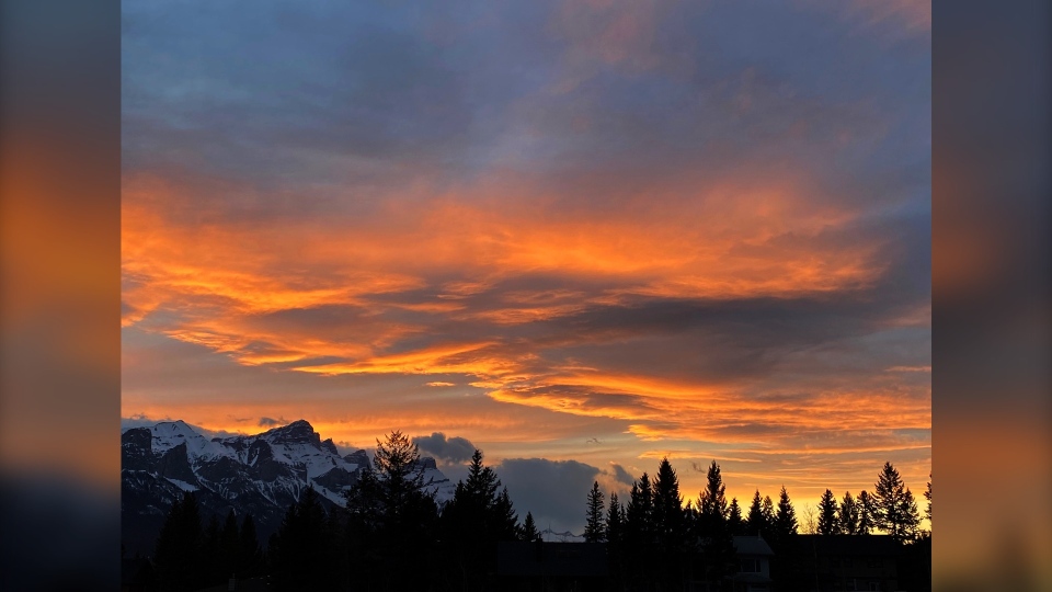
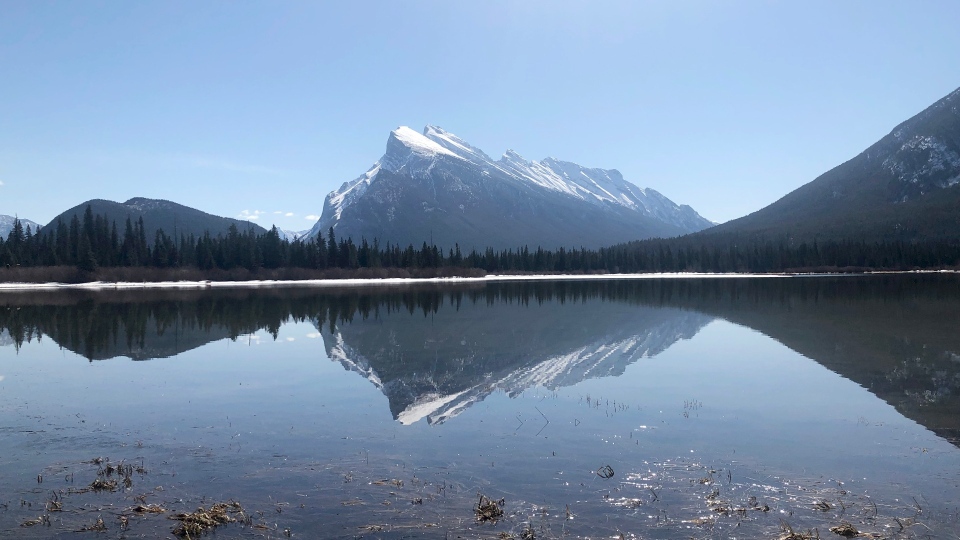
A couple of beautiful landscapes to go through today:
Firstly, Marion:
And last, but never least, Paul!
You can submit your weather photos here, or email me: Kevin Stanfield


 Collective clothing")


