
CALGARY -- Can we say, the end is nigh? I think we have to. But the 'end' in question refers only to that streak of warm weather, and thereafter we're falling just below seasonal — but not rudely so.
Starting aloft, our large, high-pressure ridge continues driving westerlies along the surface today. More gusts should be expected from that, amounting to 40, perhaps 50 km/h in Calgary. Then, the ridge aloft passes to the east and the embedded zone where it rises will encompass a surface low that swings south of us.
Several times in the last few weeks, we've seen Alberta clippers roll off of that base, keeping the majority of their snow to the northern edge; but, if it's south of us … yeah. It will look and feel like winter again by noon on Wednesday. Calgary is perfectly positioned in the snow growth zone, with heavier totals ranging in the foothills (the Icefields Parkway is under a snowfall warning, 15-25 cm expected), and Calgary pushing toward five to seven centimetres. There is a chance that value will be amplified, however, as forecast models are not yet in agreement.
Here’s the five-day:
Tuesday
Partly cloudy, west wind gusts 40-50 km/h
Daytime high: 13 C
Evening: northern wind, developing snow showers, low -1 C
Wednesday
Morning snow, amount 5-7 cm, then partly cloudy
Daytime high: 2 C
Evening: clear, low -5 C
Thursday
Partly cloudy
Daytime high: -3 C
Evening: some cloud, low -11 C
Friday
Mainly sunny
Daytime high: -5 C
Evening: some cloud, low -7 C
Saturday
Chance of flurries
Daytime high: -3 C
Evening: some cloud, low -9 C
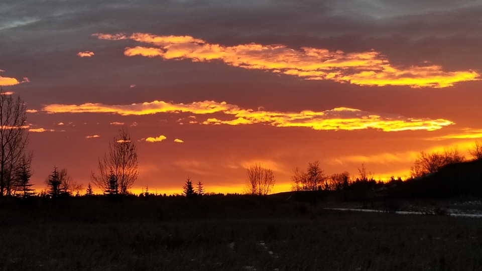
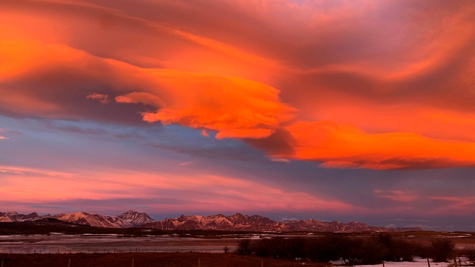
We got a slew of sunrise photographs in yesterday, and a big thanks to everyone who sent them!
Here’s Christine’s from Fish Park:
And Diana’s from Payne Lake:
You can submit your weather photos here, or email them over to Kevin Stanfield


