
CALGARY -- Scattered snow showers will persist through the next couple of days, fueled by a low pressure area south of us.
Low pressure near the surface causes convergence, so air is pulled in. That means we're going to be contending with wind out of the north and possible gusts into the 40 km/h range in Calgary, amidst blowing snow. We’re also in contention with upslope flow as this pushes along: wind directly out of the north cascading into the NW -> SE Rockies forces air to rise, cool, and condense. That brings us flurries, amounting to 2-3 cm by the end of tomorrow.
We’re also potentially seeing 6-8 cm drop on Calgary through an event expected to arrive Friday, though the earlier prognostications from this week had it pinned down closer to 10 cm. This is to say that, as we get closer, model guidance is reducing its intensity. There's always the chance this trend continues.
Regions along our border with the U.S. are under a snowfall warning, with 10-15 cm expected to fall from this same band, diminishing slightly as it pushes toward Saskatchewan.
This upper trough has an end-point but we'll have to wait until Sunday to begin a recovery.
Here's the five-day forecast:
Today:
- Mainly cloudy, scattered snow showers, NE gusts to 40 km/h this aft.
- Daytime high: -3C
- Evening: scattered flurries, low -11C
Tomorrow:
- Scattered flurries
- Daytime high: -8C
- Evening: scattered flurries, low -12C
Friday:
- Evening snow
- Daytime high: -10C
- Evening: cloudy, low -15C
Saturday:
- Morning snow, clearing to sunshine
- Daytime high: -11C
- Evening: clear, low -15C
Sunday:
- Mainly clear
- Daytime high: -4C
- Evening: clear, low -15C
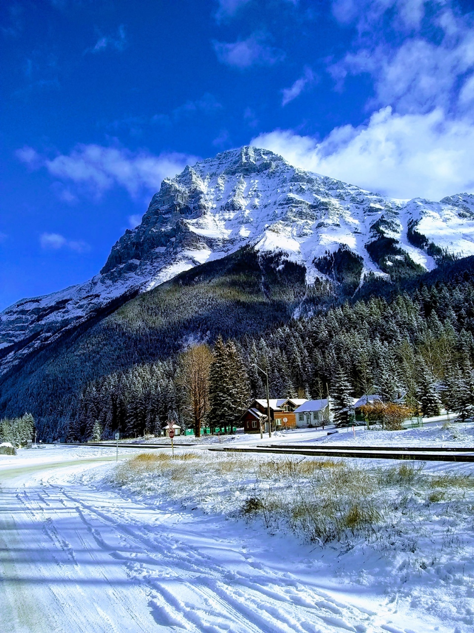
Call it an inevitability, but Douglas caught this amazing mountain shot with a nice layer of snow on it!
You can submit your snowy weather photos here.


 Collective clothing")


