CALGARY -- Today and tomorrow, we're into – and out of – a high pressure rise. Today the wind is a little gentler as we're directly beneath the ridge, and tomorrow it'll pick up as the ridge falls away and returns us to seasonal temps.
Until then, this ridge of high pressure is going to pump us to the 20s! The standard drawback continues, in that this will keep the landscape dry and ramp up the fire advisories.
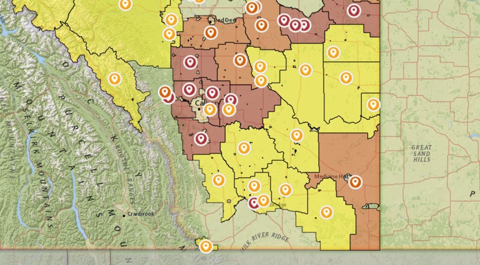
Our weekend is shaping for some light showers, but the key word is 'light.' We are a ways off from the sort of saturation our lawns could surely use right now, with between two to three millimetres Saturday, and barely a single millimetre of rain Sunday. That's nowhere near enough. Here's a look at the Agroclimate Percent of Average Precipitation:
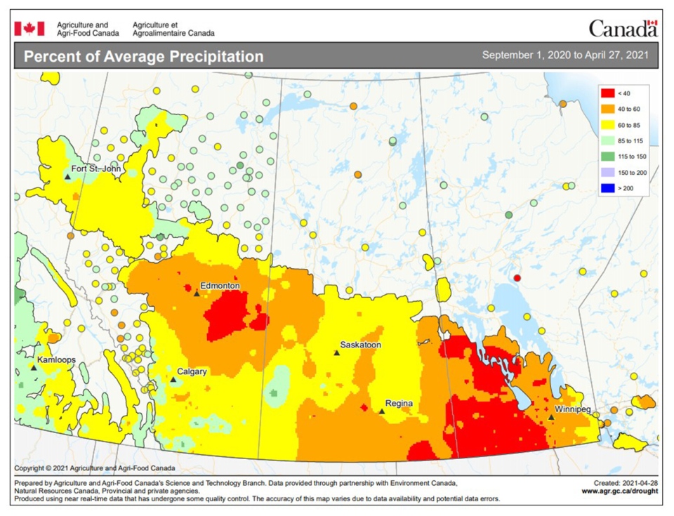
These numbers aren't great, and they're not looking to get better in the longer-range forecast. Lower rainfall totals affect a wide population, from farmers (increased water use bills) to storm chasers (a lack of soil moisture = limited evapotranspiration = limited storm development).
Full information on what these bans translate to can be found here.
Your five-day forecast:
Today:
- Mainly cloudy
- Daytime high: 21 C
- Evening: mainly clear, low 7 C
Friday:
- Mainly sunny, blustery! Gusts to 50 km/h
- Daytime high: 22 C
- Evening: mainly clear, low 5 C
Saturday:
- Partly cloudy, scattered afternoon showers
- Daytime high: 14 C
- Evening: ongoing showers, low 3 C
Sunday:
- Partly cloudy, scattered showers
- Daytime high: 13 C
- Evening: mainly clear, low 1 C
Monday:
- Partly cloudy
- Daytime high: 16 C
- Evening: mainly cloudy, low 3 C
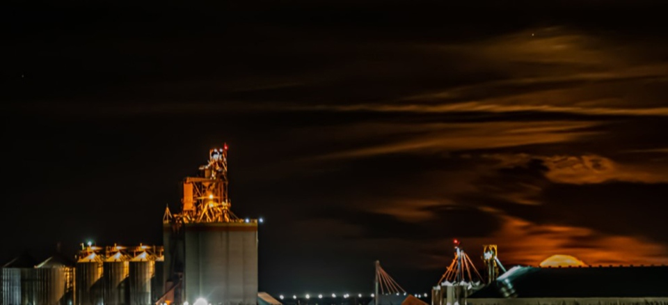
In photos, our pal Glen took an amazing shot of the moonrise overnight:
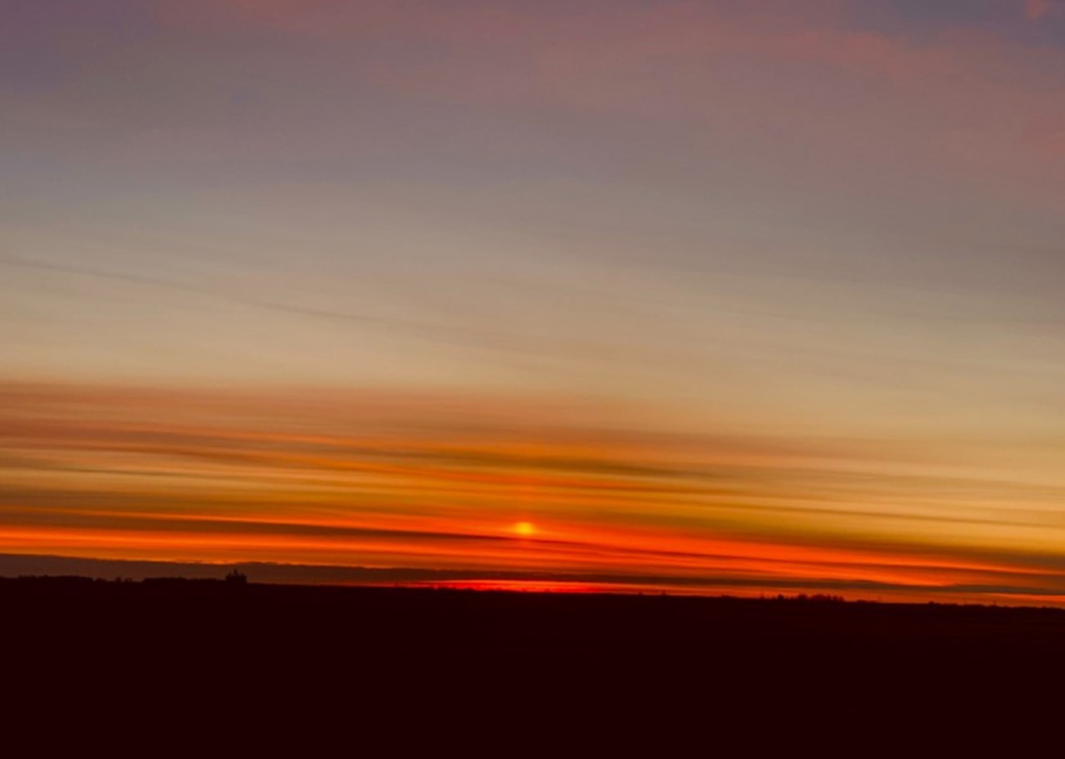
Then Lois caught the sunrise! Thanks for sending photos along!
You can submit your weather photos here, or email me: Kevin Stanfield , OR you can just tweet at me!


