
CALGARY -- Storm potential again stays well to the north of us along a shortwave trough while closer to Calgary we’re set up in a brief stint of zonal flow aloft.
Westerly wind is going to prevail and with the heat we’ll experience today, we’re going to have plenty of storm energy! However, it won’t mean much, thanks to the "cap" – a layer of stable air above us that is going to essentially shut down any potential for storms to develop. I described it on-air during CTV Morning Live today as a cork that’s staying on the bottle.
That all said, there is a very small chance for convection along the QEII between Calgary up towards Innisfail as a tiny low is potentially forming up. Enjoy yourself out there today, and remember: when thunder roars, head indoors.
I also want to address some… we’ll call them Rumours for now (with an intentional capital “R”), of severe storm potential through Thursday/Friday. It’s still 48 hours-plus out from the time of this writing and, with that, a grain of salt must be observed, but early indicators suggest a strong band of storms may fall in along that same zone I mentioned above: the QEII north of Calgary.
Here’s a preliminary charting for echo tops:
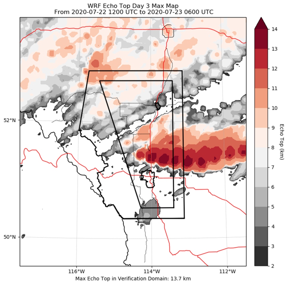
These represent the radar-indicated height of storms, and we derive additional information from that. The updraft strength needed to reach 14 km cloud tops (45,000 feet) will mean a stronger likelihood of significant hail. As I said earlier, this data requires a grain of salt. It’s still a few days out.
Here’s our forecast:
Today:
- Mainly sunny, slight chance for a storm
- Daytime high: 26°
- Evening: some cloud, low 13°
Tomorrow:
- Mainly sunny, afternoon/evening thundershower potential
- Daytime high: 25°
- Evening: scattered showers, low 13°
Thursday:
- Partly cloudy, afternoon/evening thundershower potential
- Daytime high: 24°
- Evening: mainly clear, low 12°
Friday:
- Partly cloudy, afternoon/evening thundershower potential
- Daytime high: 24°
- Evening: scattered showers, low 11°
Saturday:
- Mainly sunny
- Daytime high: 20°
- Evening: largely clear, low 9°
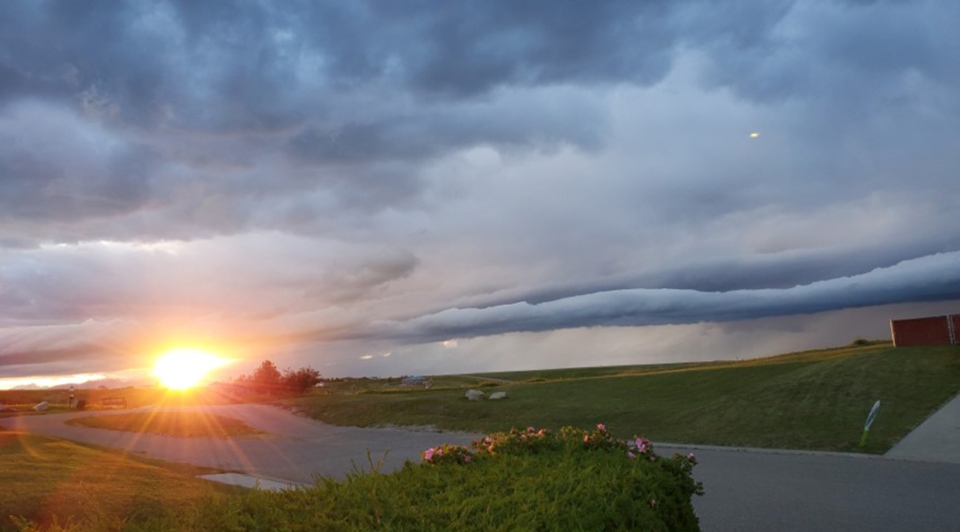
With the calm from yesterday, a couple of lovely photos came through! Though the first of those is indeed from Sunday, where we’ll mix in some storm clouds, as sent by Mel in Pincher Creek.
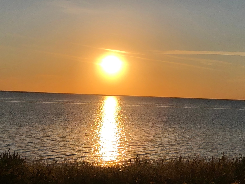
Darla was out by Lake Newell and captured this amazing sunset, too!
You can submit your weather photos here!


 Collective clothing")


