CALGARY -- Our upper air is undulating and from it, we're going to roll another wave along. Here's our eight-day forecast:
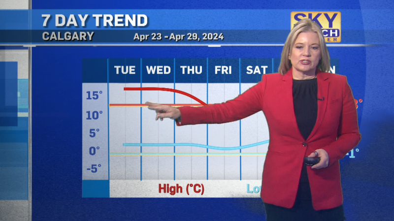
- Day 1: Winter comes back
- Day 2: Recovering temperatures
- Days 3-4: Really warm and sunny
Then repeat it.
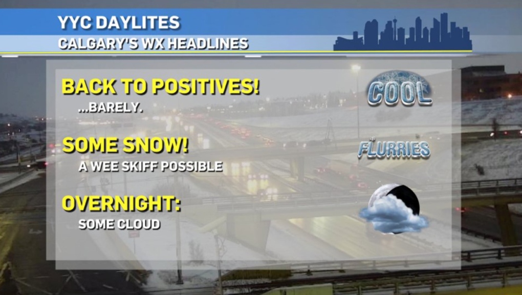
Friday and Tuesday may end up with different temperatures, but they'll achieve the same function. Today's conditions are what we'll call "recovering" temperatures, with high pressure faltering us toward wind from the northwest. That'll queue us for some light flurry potential, with minimal accumulation expected.
Then, Saturday and Sunday rise dramatically to the double-digits with westerly wind as the dominant feature. Perfect timing!
As for Monday… that's the reset for our little chart above:
Strong wind is possible, with gusts in the 60 km/h range while snow falls. The combination could be awful for visibility, though the forecast will need more fine-tuning through the weekend. This wave of convection could push the standing snowfall totals (which are largely benign for now) much higher as weather models develop through the weekend.
Your five-day forecast:
Today:
- Partly cloudy
- Daytime high: 3 C
- Evening: snow showers, low -4 C
Saturday:
- Mainly sunny
- Daytime high: 10 C
- Evening: mainly clear, low 1 C
Sunday:
- Mainly sunny
- Daytime high: 12 C
- Evening: building cloud, low -9 C
Monday:
- Snow, moderate wind
- Daytime high: -4 C
- Evening: mainly clear, low -12 C
Tuesday:
- PM flurries possible
- Daytime high: 1 C
- Evening: clearing, low -2 C
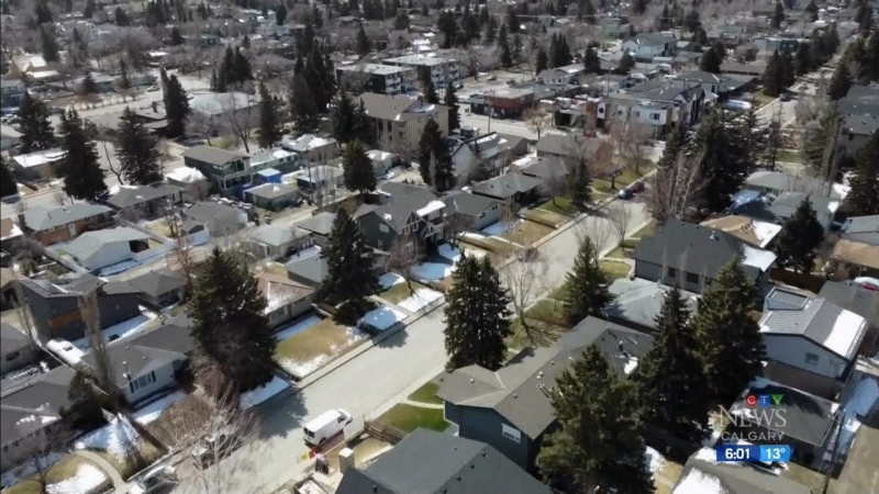
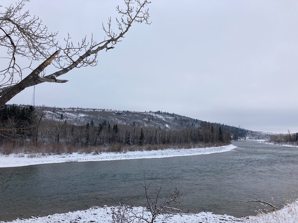
Today's photo is from Marni along the Bow. Hey! You can see CTV from there!
You can submit your weather photos here, or email me: Kevin Stanfield
