
CALGARY -- Pleasant, yet mild conditions persist today. Short articles usually bode well for our forecast!
We’re starting to fall under the upper ridge of high pressure but surface cooling was a trend Tuesday night. That means that temperatures have taken a dip for us and will not recover by end-of-day to that seasonal normal of 16C. Early showers will also play their part though total accumulations were very light, not topping 1 mm in most spots.
Past today that high pressure setup will be working itself back in but before then, we’ll experience that clarity high pressure brings as early as this evening. While that bodes well for our high temperatures tomorrow, overnight low temperatures may fall into the Frost Advisory risk zone through central Alberta, cascading southward.
Here’s the five-day forecast:
Today:
- Early showers, then clearing
- Daytime high: 13C
- Evening: mainly clear, low 4C
Tomorrow:
- Partly cloudy
- Daytime high: 20C
- Evening: some cloud. low 7C
Friday:
- Mainly sunny
- Daytime high: 18C
- Evening: clear, low 4C
Saturday:
- Mostly sunny
- Daytime high: 19C
- Evening: clear, low 10C
Sunday:
- Mostly sunny
- Daytime high: 19C
- Evening: clear, low 8C
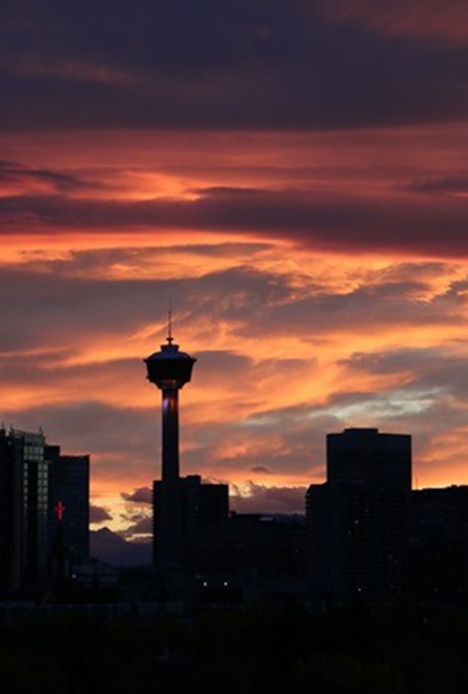
The photo of the day credit goes to Rosemarie for this beautiful skyline shot yesterday evening.
You can submit your weather photos here.


