Warm weather comes to an abrupt end Monday night
A mild Sunday night leads into a warm start to the work week, but don’t let that deceive you. Winter storm conditions expected for much of the province, starting in northern regions Monday morning.
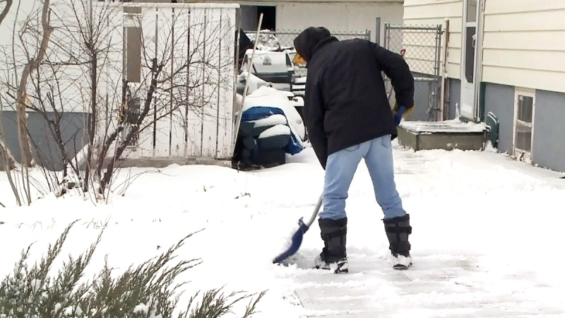
That snow moves into central Alberta by the afternoon, coupled with a cold front swinging through the province, bringing gusty winds and plummeting temperatures.
Wind gusts across central and southern regions could reach 70-90 km/h by Monday evening, causing blowing snow, poor visibility, and road conditions.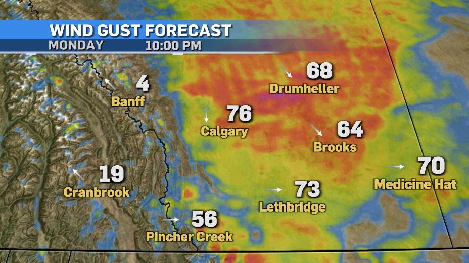
Snow tapers off through Tuesday morning as wind speeds diminish. Generally, 5-10 cm is expected across central and southern Alberta, but the foothills may see greater totals.
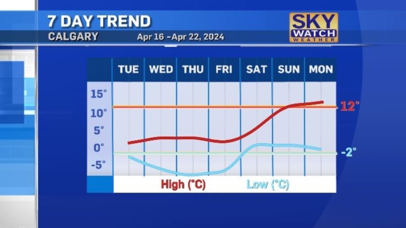
The cold settles in Tuesday, with temperatures slightly moderating mid-week before warm weather returns in the second half of the week.
Here’s the five day:
Monday:
- Sunny in the morning, increasing cloudiness late afternoon
- Daytime high: 9 C
- Overnight: Temperatures plummet, winds gust to 70 km/h, blowing snow, low -16 C, wind chill -25
Tuesday:
- Chance of early morning flurries, partly cloudy after that
- Daytime high: -13 C
- Overnight: Clearing, -22 C
Wednesday:
- Mostly sunny
- Daytime high: -9 C
- Overnight: Becoming mostly cloudy, -12 C
Thursday:
- Becoming mostly cloudy
- Daytime high: 4 C
- Overnight: Partly cloudy, -2 C
Friday:
- Clearing
- Daytime high: 2 C
- Overnight: Clearing, -1 C
CTVNews.ca Top Stories

LIVE NOW Budget 2024 prioritizes housing while taxing highest earners, deficit projected at $39.8B
In an effort to level the playing field for young people, in the 2024 federal budget, the government is targeting Canada's highest earners with new taxes in order to help offset billions in new spending to enhance the country's housing supply and social supports.
BUDGET 2024 Feds cutting 5,000 public service jobs, looking to turn underused buildings into housing
Five thousand public service jobs will be cut over the next four years, while underused federal office buildings, Canada Post properties and the National Defence Medical Centre in Ottawa could be turned into new housing units, as the federal government looks to find billions of dollars in savings and boost the country's housing portfolio.
Some of the winners and losers in the 2024 federal budget
With a variety of fiscal and policy measures announced in the federal budget, winners include small businesses and fintech companies while losers include the tobacco industry and Canadian pension funds.
From housing initiatives to a disability benefit, how the federal budget impacts you
From plans to boost new housing stock, encourage small businesses, and increase taxes on Canada’s top-earners, CTVNews.ca has sifted through the 416-page budget to find out what will make the biggest difference to your pocketbook.
Liberals aim to hit the brakes on car theft with new criminal offences
The Liberals are proposing new charges for the use of violence while stealing a vehicle and for links to organized crime, as well as laundering money for the benefit of a criminal organization.
BUDGET 2024 Ottawa police get $50 million to boost security around Parliamentary Precinct
The Ottawa Police Service will receive $50 million in new federal funding over the next five years to "enhance security" around the Parliamentary Precinct.
Liberals to dole out five years worth of carbon rebates to businesses
Small- and medium-sized business owners are set to receive a long-awaited refund from Ottawa, which was holding onto billions of dollars while it sorted out a way to deliver them their carbon pricing rebates.
Feds offer $5B in Indigenous loan guarantees, fall $420B short on infrastructure asks
The federal government is providing up to $5 billion in loan guarantees to help Indigenous communities invest in natural resource and energy products. But when it comes to a promise to close what advocates say is a sprawling Indigenous infrastructure gap, Ottawa is short more than $420 billion.
BREAKING Police to announce arrests in Toronto Pearson airport gold heist
Police say that arrests have been made in connection with a $20-million gold heist at Toronto Pearson International Airport one year ago.


