Warmer this weekend in southern Alberta

Today is a nice day.
A couple of messy days across our province are behind us, and warmer days are just ahead. Colleen sent this along - and she's not terribly far-off!
To get to a proper blizzard, it's the 4/40/400 "rule" - blowing snow in 400 metres or less for visiblity, with 40 km/h or stronger winds. Oh, and it has to be sustained for more than 4 hours. Thankfully, not the case, here!
We lead off with a ridge of high pressure pushing in, which makes for cooler air circulating above us. Tomorrow, that setup will develop further, and we’ll find our way to sunnier straits; I expect to see a fair few wind warnings build in along the foothills, heralding a shift to chinook wind Saturday. Gusts may very well top 100 km/h in a few spots, as a warm burst of air will do its work, even here in Calgary. Some models show early gust values topping the 70 km/h range, but that remains to be seen!
Afterward, we cool back down, and enter another phase of snow showers Monday.
YOUR FIVE-DAY FORECAST
Tonight:
- Evening: some cloud, low -9 C
Friday:
- Mainly sunny, west wind
- Daytime high: 0 C
- Evening: mainly clear, low -5 C
Saturday:
- Sunny
- Daytime high: 6 C
- Evening: some cloud, low -7 C
Sunday:
- Sunny
- Daytime high: 0 C
- Evening: some cloud, low -9 C
Monday:
- Mainly cloudy, chance for afternoon flurries
- Daytime high: -7 C
- Evening: late flurry risk, low -12 C
Tuesday:
- Mainly cloudy, morning flurries
- Daytime high: -9 C
- Evening: late flurries, low -12 C
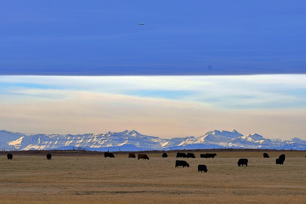
Bob near Delacour, caught a really nifty shot of Black Angus cattle beneath a chinook arch against a mountain backdrop. As one does.
Send us your weather pics! You can submit your photos here, email me here, or tweet them over!
CTVNews.ca Top Stories

Young people 'tortured' if stolen vehicle operations fail, Montreal police tell MPs
One day after a Montreal police officer fired gunshots at a suspect in a stolen vehicle, senior officers were telling parliamentarians that organized crime groups are recruiting people as young as 15 in the city to steal cars so that they can be shipped overseas.
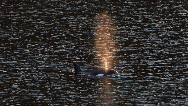
'It was joy': Trapped B.C. orca calf eats seal meat, putting rescue on hold
A rescue operation for an orca calf trapped in a remote tidal lagoon off Vancouver Island has been put on hold after it started eating seal meat thrown in the water for what is believed to be the first time.
Man sets self on fire outside New York court where Trump trial underway
A man set himself on fire on Friday outside the New York courthouse where Donald Trump's historic hush-money trial was taking place as jury selection wrapped up, but officials said he did not appear to have been targeting Trump.
Sask. father found guilty of withholding daughter to prevent her from getting COVID-19 vaccine
Michael Gordon Jackson, a Saskatchewan man accused of abducting his daughter to prevent her from getting a COVID-19 vaccine, has been found guilty for contravention of a custody order.
Mandisa, Grammy award-winning 'American Idol' alum, dead at 47
Soulful gospel artist Mandisa, a Grammy-winning singer who got her start as a contestant on 'American Idol' in 2006, has died, according to a statement on her verified social media. She was 47.
She set out to find a husband in a year. Then she matched with a guy on a dating app on the other side of the world
Scottish comedian Samantha Hannah was working on a comedy show about finding a husband when Toby Hunter came into her life. What happened next surprised them both.
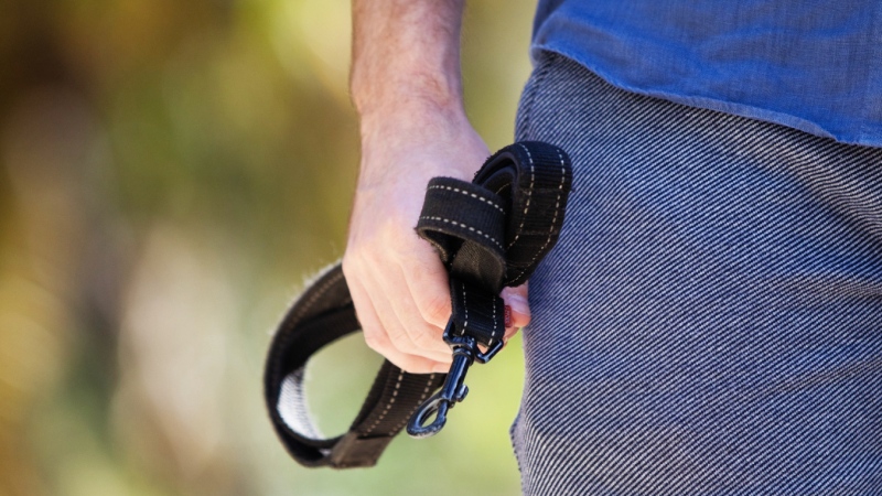
B.C. judge orders shared dog custody for exes who both 'clearly love Stella'
In a first-of-its-kind ruling, a B.C. judge has awarded a former couple joint custody of their dog.
Saskatoon police to search landfill for remains of woman missing since 2020
Saskatoon police say they will begin searching the city’s landfill for the remains of Mackenzie Lee Trottier, who has been missing for more than three years.
Shivering for health: The myths and truths of ice baths explained
In a climate of social media-endorsed wellness rituals, plunging into cold water has promised to aid muscle recovery, enhance mental health and support immune system function. But the evidence of such benefits sits on thin ice, according to researchers.


