
CALGARY -- We’re alongside a wave of upper air aloft that keeps us close enough to the high pressure ridge to maintain warmth. It will also drive us into a westerly windflow pattern for today, which may kick up 40 km/h gusts. There is some provincial instability in the forecast, but that is likely going to be sidling well to our north.
I want to double back on the preceding month for a moment. Here’s some information on the warmth of September, from @YYC_Weather on Twitter:
What a trend. Low temperatures hit their lowest point on September 8th, at 1.1C.
And that was it.
October has given us little change, so far, with the longer-range models showing our first (!) fall lows below 0C midway through next week. The common disclaimer remains: that’s subject to change.
Here’s the five-day forecast:
Today:
- Mainly sunny, windy this aft.! Westerly gusts 40-50 km/h
- Daytime high: 24C
- Evening: some cloud, low 10C
Tomorrow:
- Partly cloudy
- Daytime high: 20C
- Evening: some cloud, low 5C
Wednesday:
- Mostly sunny again
- Daytime high: 16C
- Evening: mainly clear, low 6C
Thursday:
- Sunny
- Daytime high: 20C
- Evening: mainly clear, low 4C
Friday:
- Mostly sunny
- Daytime high: 18C
- Evening: clear, low 5C
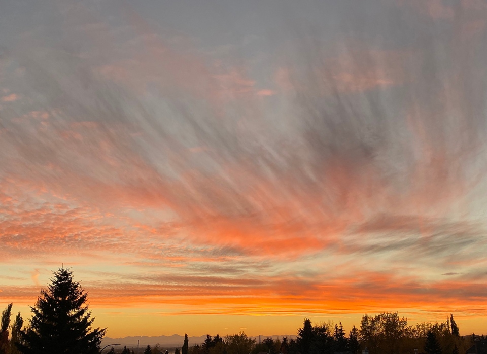
Ron caught this magnificent Calgary sunset yesterday evening.
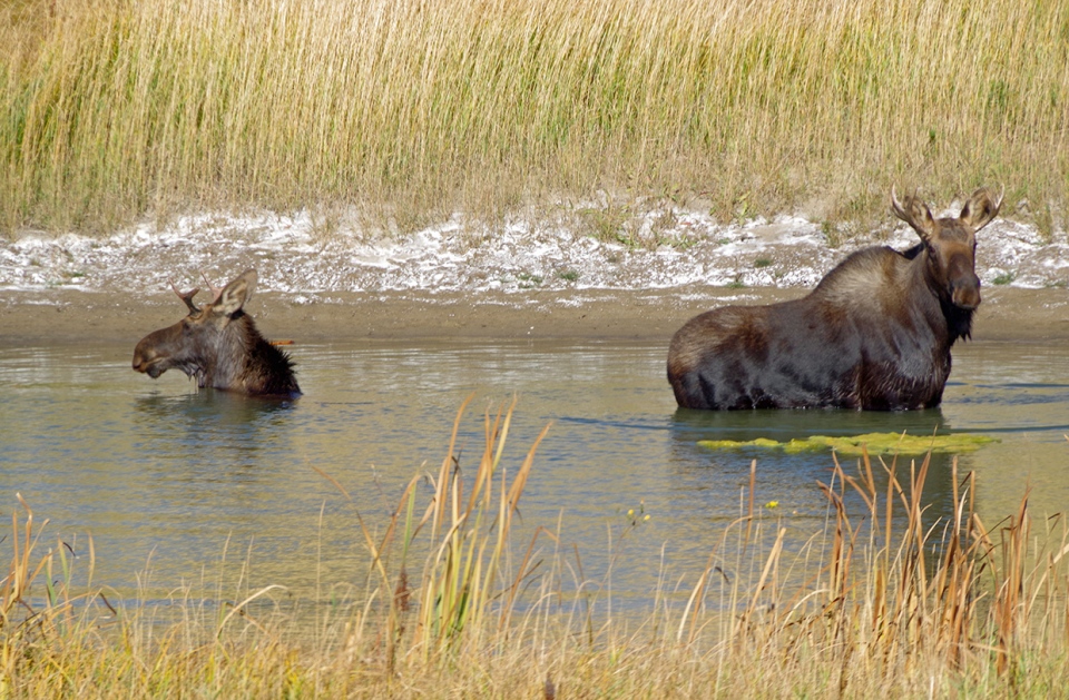
And Marlene was out for a drive near Kathyrn and found these beauties in a dugout!
You can submit your weather photos here.


