
CALGARY -- We're into another windy one today and this time it rolls in phases.
We start with a ridge-trough couplet of southwesterly air across the Rockies, which has promoted early chinook warming that will likely continue into the afternoon. We could see gusts hit 50 km/h here in Calgary, and the forecast will reach a positive temperature above average expectations for a brief window. For now, I'm saying 6 C, but if we get to 8 or even 9 C, que sera.
That's the midday.
Late-day, we're going to be focused on that wind still but out of the north instead, thanks to the trough swinging through. That mutes our temperatures (back to seasonal, mind you) for tomorrow, opening us to cool, northern air with some sunshine.
It's short-lived, replaced by a very large band of high pressure, which will warm us considerably and push our prospective chinooks and cloud away, leaving us in largely sunny conditions with well-above-seasonal temperatures.
The longer-range forecast is projecting further warmth, but there is a forecast model bias in place that suggests warmer weather on days four and five of a forecast can amplify days six and seven. It remains to be seen, and so I recommend tempering expectations.
Here's the five-day:
Today:
- Mainly cloudy, 50 km/h gusts from the west
- Daytime high: 6 C
- Evening: 50 km/h gusts from the north, low -5 C
Saturday:
- Sunny
- Daytime high: 1 C
- Evening: clear, low -3 C
Sunday:
- Sunny
- Daytime high: 7 C
- Evening: clear, low 1 C
Monday:
- Mainly sunny
- Daytime high: 10 C
- Evening: clear, low 1 C
Tuesday:
- Sunny
- Daytime high: 6 C
- Evening: clear, low 2 C
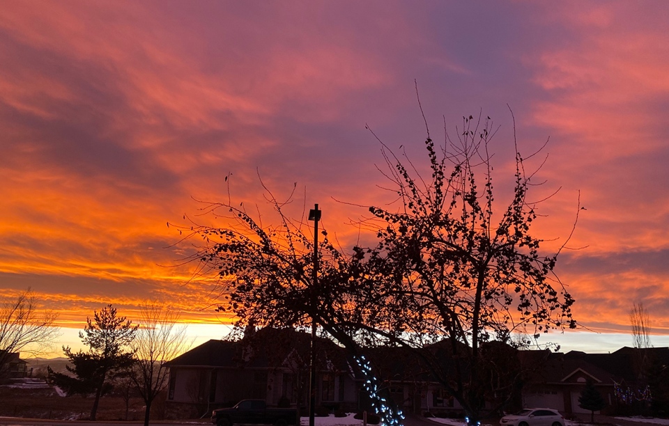
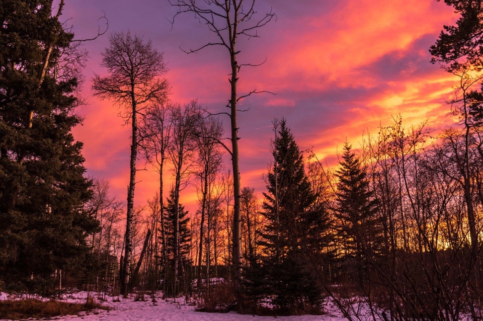
Yesterday evening provided a perfect photo opportunity for those sunsets. It turned the world pink with the reflection off snow! Thanks to Lily in Cranston and Lynn in Priddis for their photos!
You can submit your weather photos here.


