CALGARY -- Yesterday's instability rattling through qualifies as "growing pains" for us.
Our forecast for the next few days is going to sidle back under a high pressure ridge, opening to warm, sunny days through the weekend, with enough westerly wind aloft to spike our highs to the mid-20s!
That's our warming trifecta; high pressure, which breaks into sun, with westerly wind. Push all of that together and give it some staying power, and we see temperatures push within a few degrees of record-breaking territory.
Central Alberta will continue to face some instability for a couple of days; that's especially present along the jet, where temperatures will be rapidly shifting within a 100 km north-to-south span. That'll lead them to showers and thundershowers.
For campers: be aware that overnight lows will still take a dip toward the freezing marker in higher elevations! Otherwise, we're in for some lovely temperatures for a few days.
Your five-day forecast:
Today:
- Mainly sunny, evening shower potential (it's weak)
- Daytime high: 19 C
- Evening: another chance of weak showers, low 8 C
Saturday:
- Sunny
- Daytime high: 21 C
- Evening: mainly clear, low 9 C
Sunday:
- Sunny
- Daytime high: 24 C
- Evening: mainly clear, low 10 C
Monday:
- Sunny
- Daytime high: 25 C
- Evening: mainly clear, low 9 C
Tuesday:
- Some cloud
- Daytime high: 22 C
- Evening: mainly clear, low 10 C
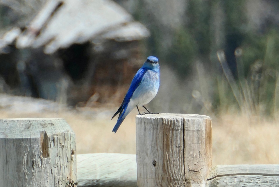
Our weather photos are from David, who caught this bluebird in Priddis:
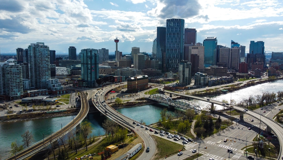
And then, Marcus framed up the city beautifully!
You can submit your weather photos here, or email me: Kevin Stanfield , OR you can just tweet at me!


 Collective clothing")


