
CALGARY -- And that's the end of that.
After riding through a pair of wintry waves, April is slated to start with warmer, sustained conditions once we're through today – mild, westerly surface wind will bump us to the single digits, and likely keep us below our brand-new seasonal normal of 6.6 C. That's on account of the other piece at play above us; the exit region of our high pressure ridge is going to push in cooler air from the north, playing stopper to our seasonal return.
By tomorrow, we're back to the good ol' 'trifecta': plenty of sun (1), brought to you by subsident high pressure air mass (2) and accompanied by west wind (3). Three triggers for additional energy near the surface! That translates to much warmer weather ahead, which looks to transition into the start of April.
There's a slight chance we experience a weak shortwave late Friday, as referenced below. It's far enough out for plenty of fine-tuning, so we shall see! My early bet is that the potential fades as we get closer to the end of the week.
Your five-day forecast:
Tuesday:
- Some cloud
- Daytime high: 4 C
- Evening: some cloud, low -2 C
Wednesday:
- Mainly sunny
- Daytime high: 12 C
- Evening: mainly clear, low -1 C
Thursday:
- Sunny
- Daytime high: 14 C
- Evening: mainly clear, low -1 C
Friday:
- Partly cloudy, slight chance for evening showers/flurries
- Daytime high: 9 C
- Evening: Some cloud, low -2 C
Saturday:
- Partly cloudy
- Daytime high: 13 C
- Evening: Some cloud, low 1 C
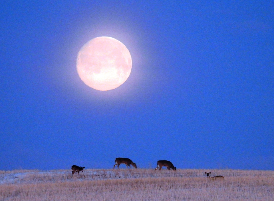
When I saw Roy's photo, I said "Come on…" out loud. What a great shot of the moonset!
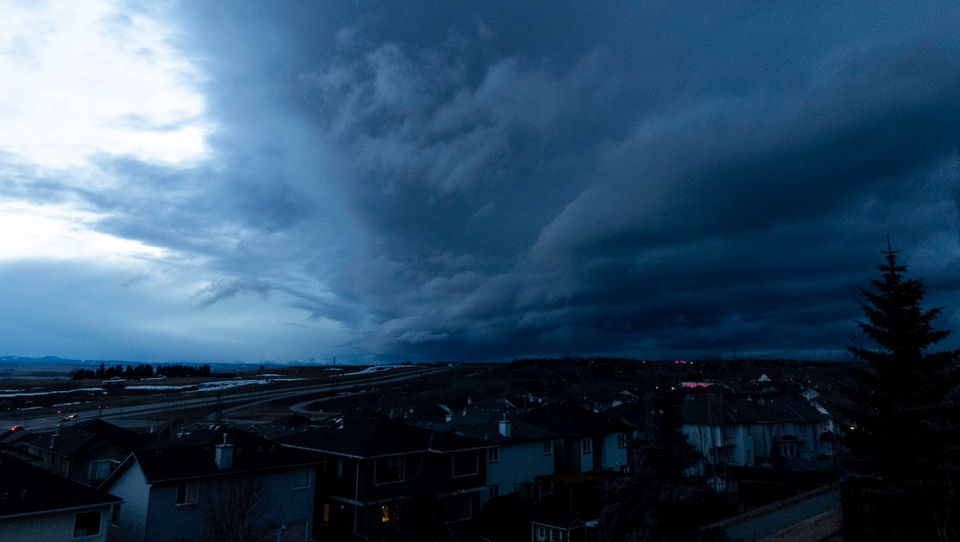
And secondly, Brian posted up a cool shot of the spring storm!
You can submit your weather photos here, or email me: Kevin Stanfield


