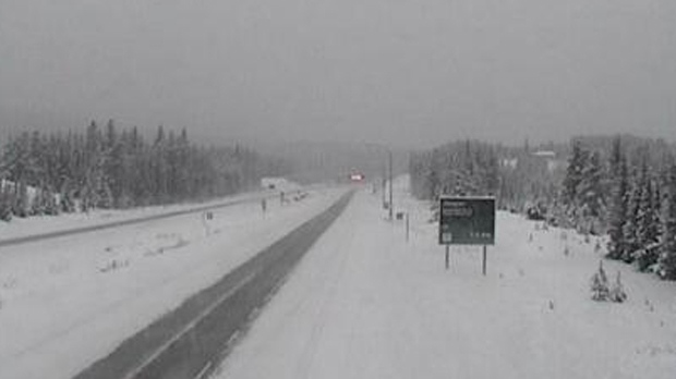
Heavy snowfall and wind gusts are expected to blanket Banff, Canmore, Kananaskis Country, Lake Louise, Pincher Creek and Jasper, and severely reduce highway visibility in these regions.
Beginning Wednesday evening and continuing through to Friday morning, between 30 and 50 cm of snow is expected to fall in the mountain parks. The hardest hit areas are expected to be the Icefields Parkway and southwestern Alberta, where 75 cm of snow may fall.
Environment Canada is recommending against travel in the mountain parks. Road closures and highway delays are likely to occur and heavy snow is expected to reduce visibility.
Public Safety Canada encourages motorists to prepare emergency plans and kits containing drinking water, food, medicine, a first-aid kit and a flashlight. Visit Get Prepared for additional information about emergency preparations.
The avalanche danger in Banff, Yoho and Kootenay National Parks is rated high in alpine areas and considerable in the treeline.
"The first big storm of the winter is beginning now, along with the first avalanche cycle of the winter for Thursday and Friday," said a Parks Canada official in a released avalanche bulletin. "Ice climbers should stay away from avalanche gullies, and skiers be aware that the snowpack is weak and unstable."
