
CALGARY -- Phew! What an alarm clock! The forecast was eyeing some nocturnal thundershowers, then delivered in a big way with the development of this low and a sharp convective blast of northern air that developed between 3 and 4 o’clock, wedging under our warmer overnight air mass and plunging our temperature, while careening us into a loud bout of stormy weather.
This is going to roll steadily across Alberta with an east-northeasterly trajectory toward Drumheller, then onward and away to northern Manitoba. By this afternoon, we should see a few clouds, but enough sun to bring us back to 20 – though that might be our hard-stop moment, as this wave of cool air is going to stick around for a few days.
These are the growing pains of our trough’s arrival. Once it sets in, our primary origin for upper wind will be quite far north of us, which means a few cooler days lie ahead. Tomorrow offers the best chance for instability otherwise, and may bring about another storm, while Sunday looks to stay calm and cool entirely.
Today:
- A quiet, mainly sunny afternoon following a loud morning
- Daytime high: 20°
- Evening: some cloud, low 10°
Saturday:
- Partly cloudy, afternoon/evening showers
- Daytime high: 19°
- Evening: some cloud, low 8°
Sunday:
- Sunny
- Daytime high: 21°
- Evening: mainly clear, low 11°
Monday:
- Mainly sunny
- Daytime high: 25°
- Evening: mainly clear, low 10°
Tuesday:
- Partly cloudy
- Daytime high: 21°
- Evening: some cloud, low 10°
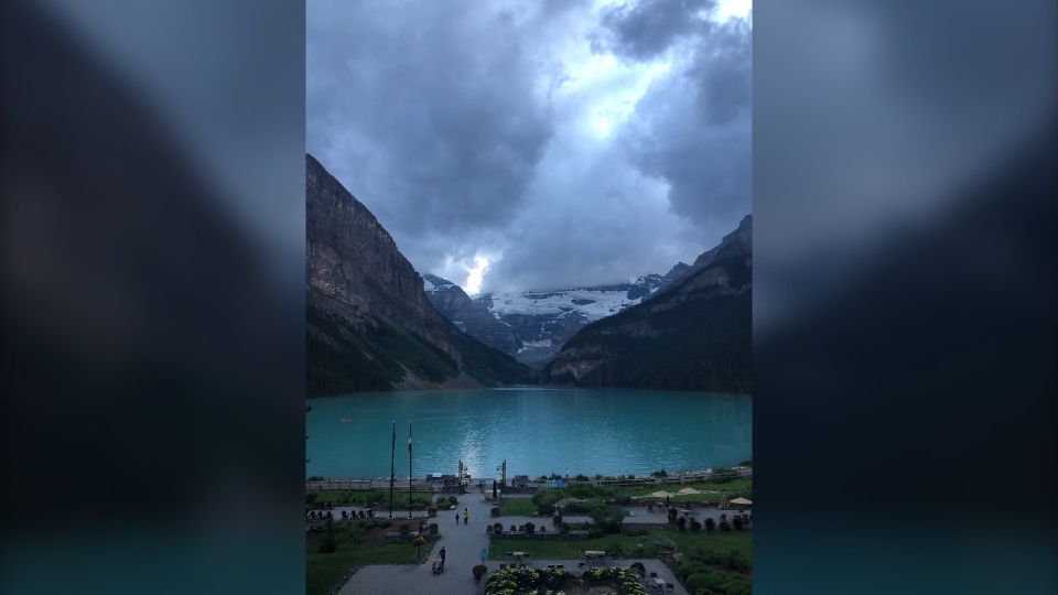
Heather and Robin were out at Lake Louise and sent this shot over near dusk yesterday.
You can submit your weather photos here!


