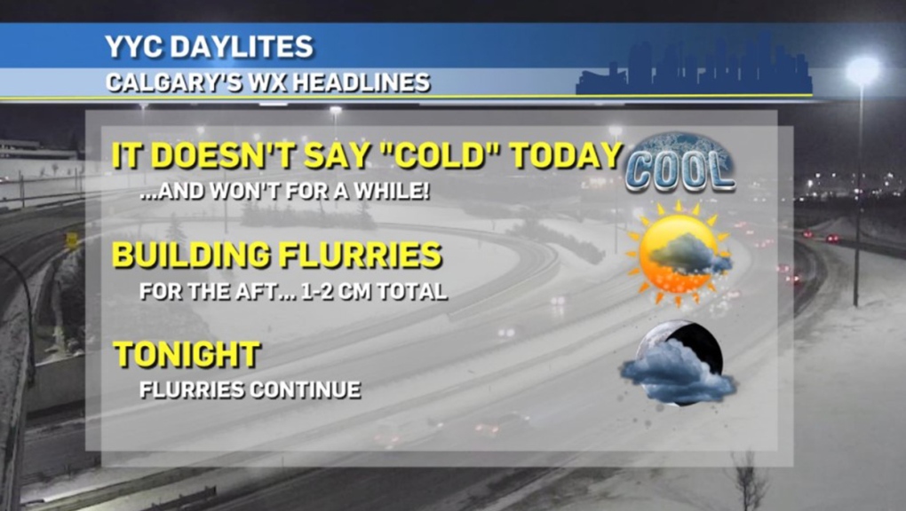
CALGARY -- Here's a nice herald of things to come from @YYC_Weather:
There's an upper ridge on the way for the weekend that will promote a series of drier days, and should get us back to seasonal before long. But first, we'll watch for an upper low to disturb what little moisture we have around and send a brief wave of snow parallel with the foothills.
This snow-band should deliver one centimetre, possibly two centimetres in a few areas. So, the shovel comes out, the temperature promotes a heavier, more water-based snow, but you're not breaking your back in it.
That's it for the major events! Melting weather will progressively increase into the weekend as Pacific air slowly filters in and gradually builds our thermal energy. The key word in that sentence is "gradually" – but we likely won't mind. The differential in our high temperature from today to yesterday is slated to be 10 degrees, and that is the extent of overreaching change; the next few warm-ups will be much slower.
Speaking of the number 10, another good one that went overlooked from the weekend – we now have 10 full hours of daylight per day! (10 hours, seven minutes to be precise). Enjoy the warm-up safely, my friends.
Here's the five-day forecast:
Today:
- Partly cloudy
- Daytime high: -5 C
- Evening: mainly clear, low -12 C
Wednesday:
- Partly cloudy
- Daytime high: -7 C
- Evening: mainly clear, low -13 C
Thursday:
- Partly cloudy
- Daytime high: -5 C
- Evening: partly cloudy, low -10 C
Friday:
- Partly cloudy
- Daytime high: -1 C
- Evening: mainly clear, low -8 C
Saturday:
- Partly cloudy
- Daytime high: 1 C
- Evening: mainly clear, low -7 C
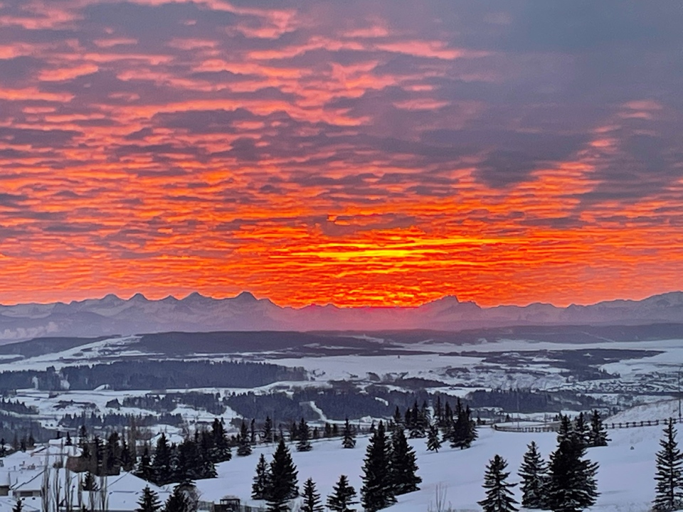
A few beauties today! Louise sent this along yesterday of the Valentine's Day sunset in Cochrane:

…and Mark found a sunbathing patio guest in Willow Park!

You can submit your weather photos here, or email me here! Kevin Stanfield


