CALGARY -- As we enter another week of forecast roulette, I am beginning to think Mother Nature has a gambling problem.
We're on the recovery loop today, with forecast models wildly varied — while wide consensus for today lists us at 3 C, you'll see a few forecasts claiming we could reach 6 C.
Aloft and near the surface, our mean wind is likely from the north, which bodes well if it tilts somewhat from the northwest; that's where the warmth comes from, as another wave of high pressure sets up (Alberta's "hot spot" today will be within ~100 km of Grand Prairie).
This combined wind will produce gusts in the 50 km/h range for the majority of our daylight hours, so even as we work back to melting temperatures, it doesn't amount to much.
Speaking of "not amounting to much," yesterdays ~7 cm of snowfall at the airport (and nearly half a foot in the northwest, prompting a brief snowfall warning) offered little to alleviate our fire ban circumstances:
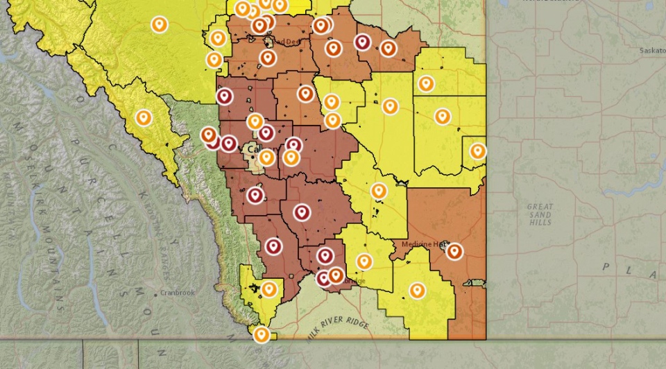
Check the full info here. And for more info on the snowfall we had this weekend, take a look at the numbers as posted by Environment Canada.
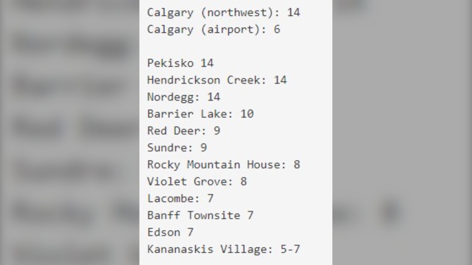
The remainder of the week offers a narrow ridge that will warm us considerably through Wednesday … until the next wave of chilly air rolls back through on Earth Day, bringing with it more flurries and another stay below seasonal.
Your five-day:
Monday
Partly cloudy, blustery (N 30g50 km/h)
Daytime high: 4 C
Evening: largely clear, low -5 C
Tuesday
Mainly sunny
Daytime high: 10 C
Evening: largely clear, low -1 C
Wednesday
Sunny
Daytime high: 15 C
Evening: showers, low -2 C
Thursday
Cloudy, flurries
Daytime high: 0 C
Evening: mainly cloudy, low -8 C
Friday
Partly cloudy, late afternoon flurries
Daytime high: 4 C
Evening: some cloud, low -6 C
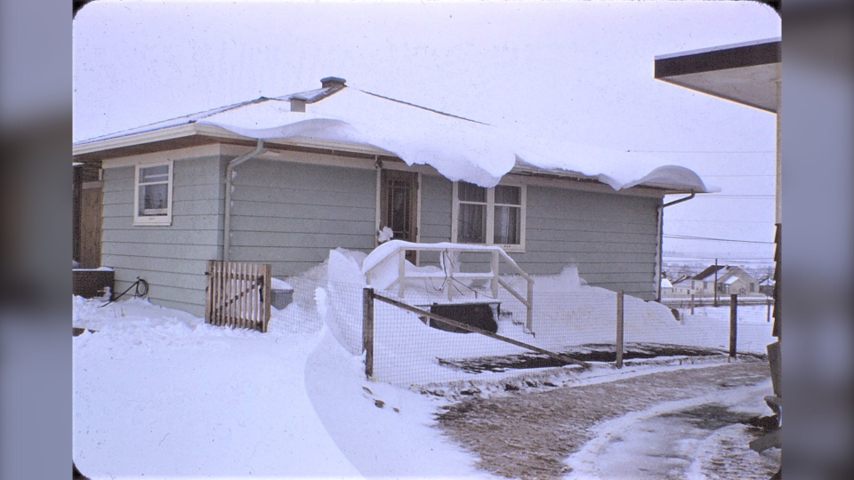
When it comes to snow, you take the good with the not-so-good. The not-so-good is brought to us by Ron, likely in the northwest, based on the total accumulation:
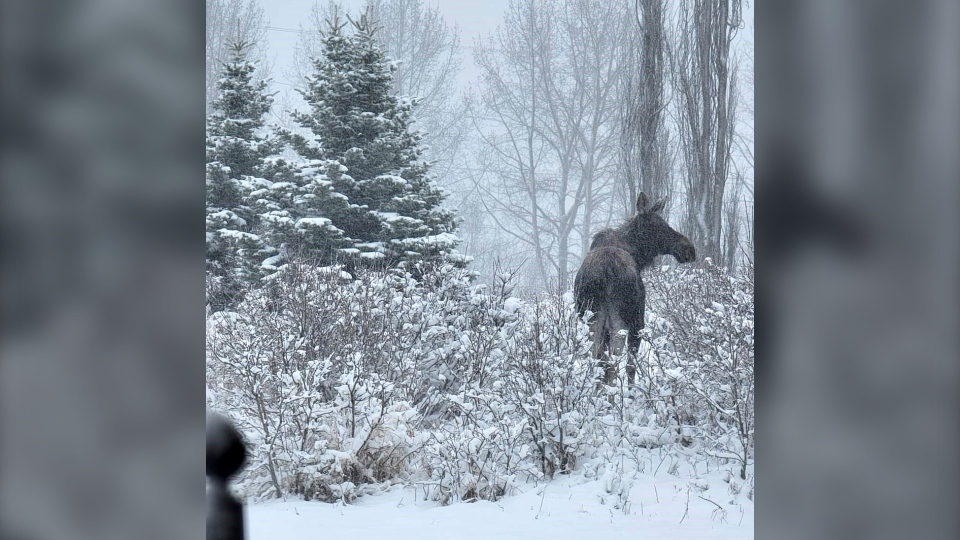
…but Lisa in Bearspaw caught this amazing scene!
You can submit your weather photos here, or email me: Kevin Stanfield


