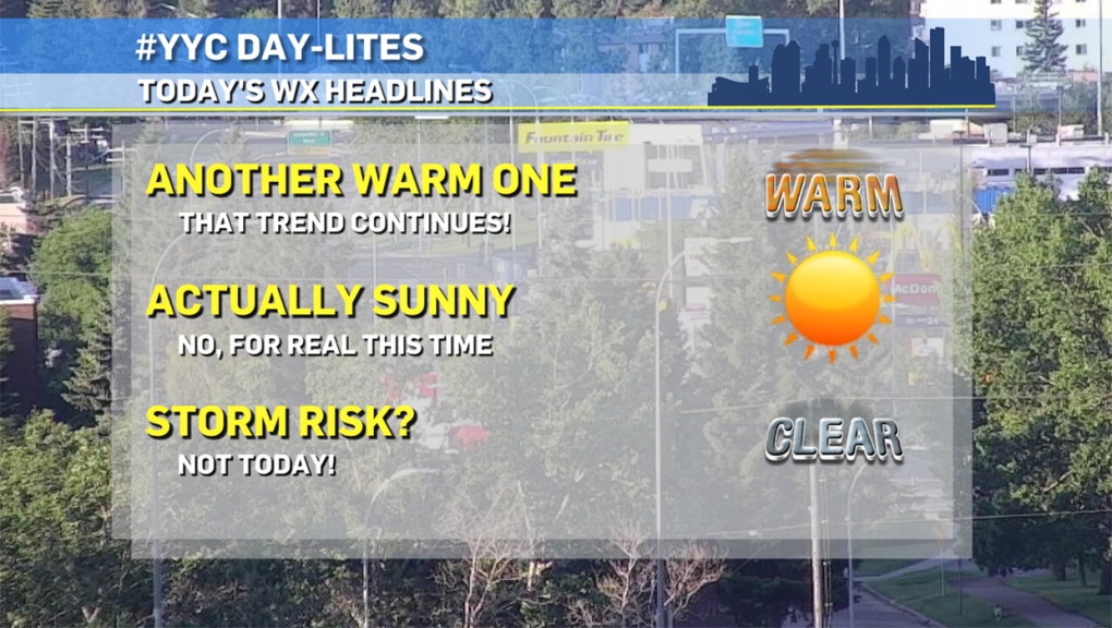
CALGARY -- Here it is: the one and only day in our vicinity where I don’t get to tack the words "storm potential" on the front!
An upper ridge out of B.C. is going to migrate storm potential to the northeast edge of the province. Otherwise, this ridge will provide us a bloom of stability, which will last a day before setting us into a westerly pattern aloft and hurling us back into a few more pop-up thundershowers. Tomorrow, we could see a weak wave of instability fly off the foothills, but the better chance for widespread isolated storms are through Wednesday and Thursday.
Here’s our forecast:
Today:
- Sunny
- Daytime high: 23°
- Evening: overnight showers, then clearing, low 10°
Tomorrow:
- Partly cloudy, late-day thundershower potential
- Daytime high: 26°
- Evening: some cloud, low 14°
Wednesday:
- Partly cloudy, late-day thundershower potential
- Daytime high: 23°
- Evening: partly cloudy, low 13°
Thursday:
- Partly cloudy, late-day thundershower potential
- Daytime high: 23°
- Evening: mainly clear, low 12°
Friday:
- Mainly sunny
- Daytime high: 24°
- Evening: developing showers, low 10°
Today's photo is a double-up from Twitter. the first from Mike MacLean with some excellent perspective on just how isolated these thundershowers can be when they roll over our city….
…and our second is a video from CTV News Calgary digital producer Dave Dormer, from underneath the roil!
You can submit your weather photos here!
