
CALGARY -- Short articles are indicative of "boring" weather! Get out, enjoy, and revel in wearing the lighter parka for a while.
We're going to fall under a continuing pattern of warmth through the next few days, punctuated by a Pacific offshore low that will drive another significant wave of snow into the Pacific ranges and deliver warm, dry air.
The worst of it? A gentle trough cutting in, offering flurries along Alberta's southern border for tomorrow. Once that's through, we can expect high and dry conditions with our energy budget showing a surplus for the next few days.
We'll watch for a few Pacific lows to batter British Columbia, but they never seem to push over the edge into Alberta. Forecast models are showing a few faint traces of chinook potential Friday, but I'm reserving judgment until we see that forecast fine-tune a little more.
Here's the five-day forecast:
Today:
- Partly cloudy
- Daytime high: -5 C
- Evening: mainly clear, low -13 C
Thursday:
- Partly cloudy
- Daytime high: -3 C
- Evening: partly cloudy, low -8 C
Friday:
- Partly cloudy
- Daytime high: 1 C
- Evening: mainly clear, low -7 C
Saturday:
- Partly cloudy
- Daytime high: 2 C
- Evening: mainly clear, low -5 C
Sunday:
- Partly cloudy
- Daytime high: 5 C
- Evening: mainly clear, low 1 C
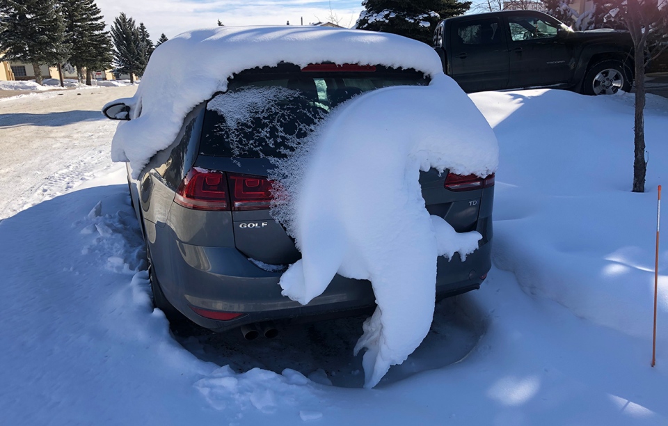
Our weather photos today once again feature an amazing and uncommon animal: this time, it's a snow gecko, sent in by Larry and Ellen!
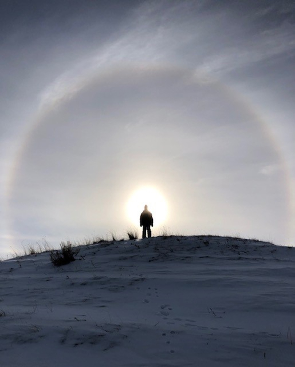
Also, from Emmett, a photo straight from the TV show Supernatural! (It's a sun halo)
You can submit your weather photos here, or email me here! Kevin Stanfield


