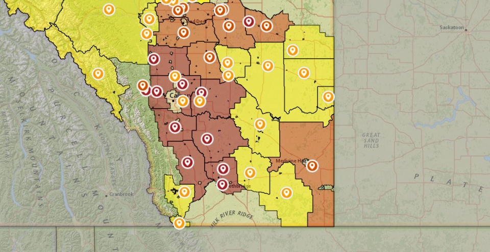
CALGARY -- We're getting awful close to the precipice of change. Friday and Saturday stay very toasty, with the same picture for fire bans:
Tinder-dry conditions continue. Even the effects Sunday may not boost us, much. We'll find ourselves in the exit-region of this massive high-pressure ridge (air from straight north) late Saturday; it's pulling moist air from the Beaufort Sea and applying an "express delivery" our way – two to five centimetres of snow is a possibility Sunday as a result of this super-highway, preceded by some light overnight showers. This transfer may also drive in 40 km/h wind, according to a number of forecast models - but I won't be shocked to see those predominantly-northern wind strike out to 50-60 km/h.
If there's anything you planned to get done this weekend, Saturday is the day. Sunday, meanwhile, is reserved for board games, a hot drink, and a movie.
Your five-day:
Friday
Sunny
Daytime high: 17 C
Evening: largely clear, low 5 C
Saturday
Mainly sunny
Daytime high: 19 C
Evening: largely clear, low -1 C
Sunday
Snowy
Daytime high: 1 C
Evening: scattered flurries, low -4 C
Monday
Partly cloudy
Daytime high: 3 C
Evening: some cloud, low -1 C
Tuesday
Sunny
Daytime high: 9 C
Evening: some cloud, low 1 C
Our photo today was sent by Mary of a friend in Carburn Park that you probably want to keep a respectful distance from.

You can submit your weather photos here, or email me: Kevin Stanfield


