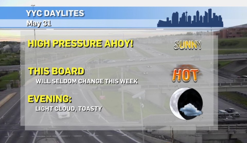
CALGARY -- It's going to be… *checks notes* hot and sunny all week.
Oh, alright then!
Our upper-air situation involves a strengthening trough developing and sinking well to our west. It's south of the Alaska Peninsula, forcing air to rise over a stretch of the coastal ranges into a high pressure ridge that will accommodate the southern prairies through the week.
Tomorrow's the start of meteorological summer – it's the sort of June 1st you can be proud of, too! Break out the sunscreen!
These persistent conditions will have a less-than-favourable translation, however… because of course they will. Here's a look at the Canada Wildland Fire Information System's current map for fire danger in our province:
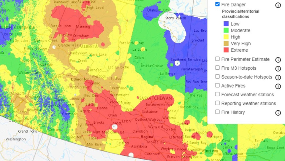
This is not coincident with our fire ban charting right now, where things are more lax (if only for the time being)
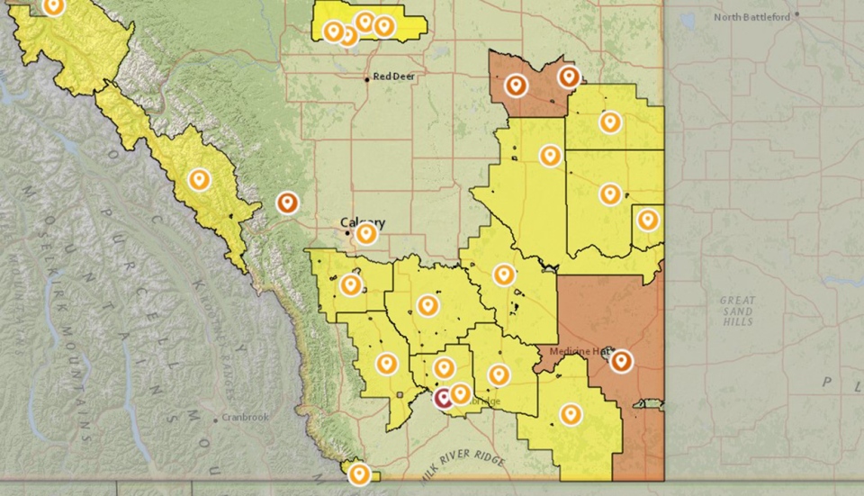
Expect this page to light up like a Christmas tree through this period of sustained dry weather.
Your five-day forecast:
Today:
- Mainly sunny
- Daytime high: 25 C
- Evening: light cloud, low 12 C
Tuesday:
- Mainly sunny
- Daytime high: 27 C
- Evening: mainly clear, low 15 C
Wednesday:
- Sunny
- Daytime high: 30 C
- Evening: clear, low 14 C
Thursday:
- Sunny
- Daytime high: 32 C
- Evening: clear, low 16 C
Friday:
- Partly cloudy
- Daytime high: 28 C
- Evening: small chance of scattered showers, low 11 C
Photo time!
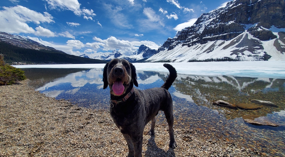
Let's work our way to warm in the photos – Bryce snapped this good pupper Jasper at Bow Lake!
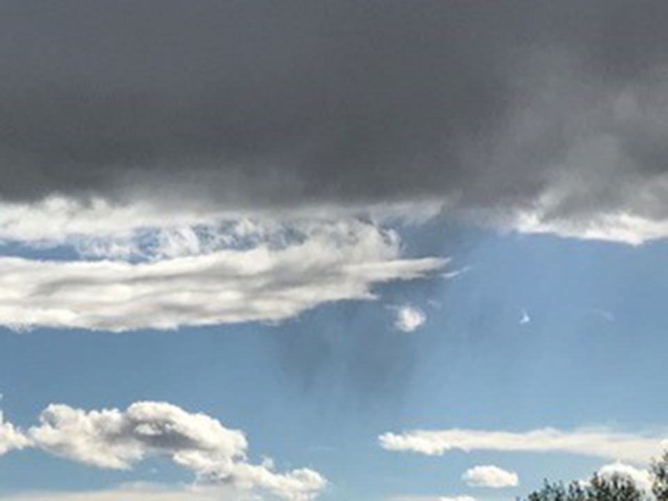
Mary caught a great shot of virga – that's where rain is falling from a cloud but evaporates on the way down. Good grab, Mary!
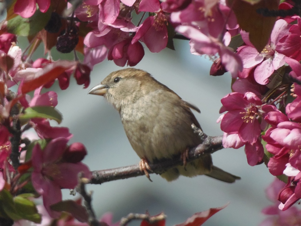
And lastly, Nyckie brought out the good lens to snap a sparrow in her crabapple tree, while it's in bloom. Lovely!
Thank you for sending, all! You can submit your weather photos here, or email me: Kevin Stanfield , OR you can just tweet at me!
