CALGARY -- It's going to be a mess along the B.C. coastline on Wednesday as Metro Vancouver could see up to 50 mm of rain drop in. Whistler's higher elevations could see Calgary-levels of snow from last week (up to 40 cm!), with lower levels kicking between 20-30 cm.
As far as how that will affect southern Alberta, it could translate into three to four centimetres of snow in the mountain parks, and a properly-defined 'skiff' closer to Calgary overnight and into Thursday afternoon.
And that's it. Thereafter, a ridge of high pressure pulls in and kicks area temperatures up another notch to start 2021, straight through into the seven-day outlook. Your seasonal normal high is closer to -2 C, and temperatures in that range are in the rear-view mirror as of today.
The only disturbance, and first wave of 2021 precipitation: rain showers. We could see a wave of that Sunday.
Here’s the five-day:
Wednesday:
Partly cloudy, wind west 20 km/h
Daytime high: 1 C
Evening: some cloud, chance of flurries, low -4 C
New Year's Eve (Thursday):
Mainly cloudy, chance of flurries
Daytime high: 0 C
Evening: mainly clear, low -5 C
New Year's Day (Friday):
Partly cloudy
Daytime high: 4 C
Evening: some cloud, low -1 C
Saturday:
Mainly sunny
Daytime high: 6 C
Evening: snow showers, low 3 C
Sunday:
Some cloud, chance of showers
Daytime high: 5 C
Evening: some cloud, low -3 C
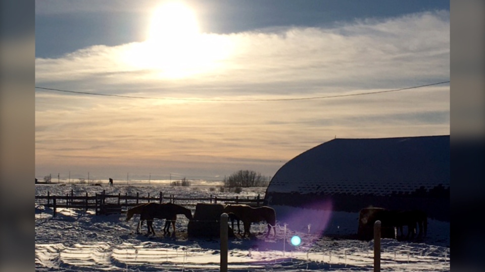
Today's photos take us from sun to moon – Shelley lives east of Calgary and snapped this great shot of a winter's day:

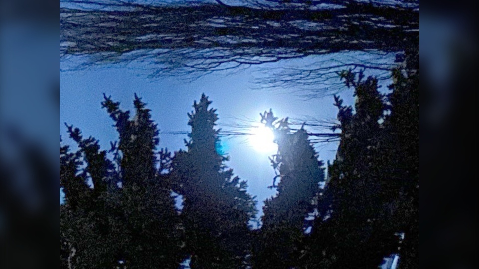
…and then that evening, Darla caught the moon looking lovely, too!

You can submit your weather photos here, or email me here: Kevin Stanfield


