CALGARY -- "Boring" doesn't have to be bad.
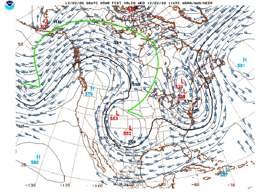
Temperatures for the next few days are reminiscent of October seasonal highs, instead of December's. We have a weak blocking pattern in effect; with the northward and southward motion of air, we don't achieve enough eastward motion to adjust our effects for a while. That means high pressure is here to stay.
We call it an Omega Block (I drew it on the map below in green), thanks to is weak resemblance to the Greek symbol.

With high pressure activated, our temperatures are on an upswing and stay that way. Westerly wind will also play its part more than once, with potential gusts in the 40 km/h range driving in added warmth that may boost us to all-new record highs. We have in the forecast record warmth for Dec. 3 tomorrow!
Winter enthusiasts who feel they're getting a raw deal, this is for you: Temperature trends cool with increases in elevation (Calgary = ~1000m, Banff = ~1300m, Lake Louise = ~1600m), and skiers/snowboarders will deal with mild temperatures, as opposed to full-bodied "warmth." It doesn't bode spectacularly for conditions, but it shouldn't close lifts.
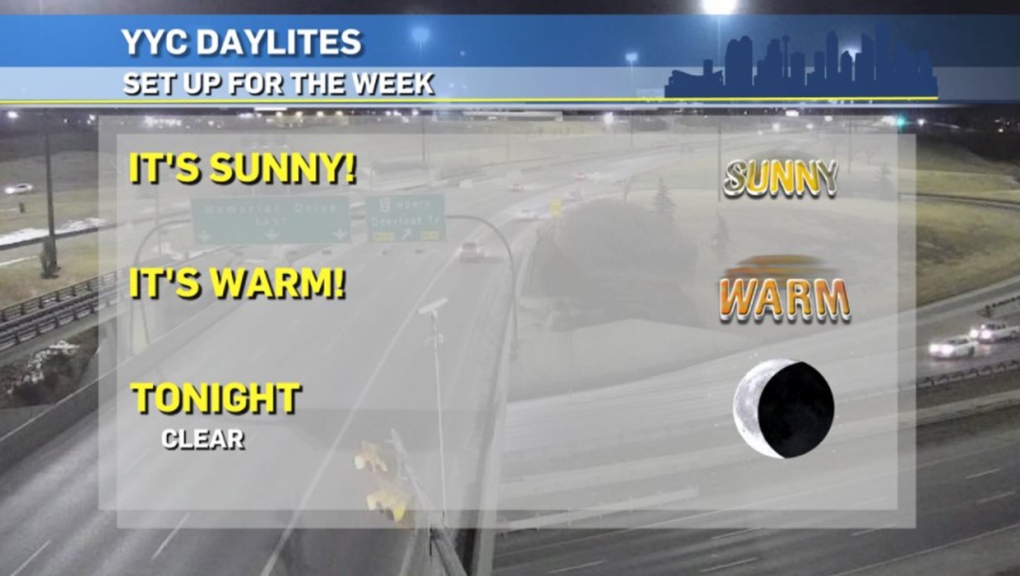
Here's the five-day forecast:
Today:
- Sunny
- Daytime high: 11 C
- Evening: clear, low 4 C
Tomorrow:
- Sunny
- Daytime high: 13 C*
- Evening: clear, low 3 C
- * Record high: 12.8 C, 1939
Friday:
- Mainly sunny
- Daytime high: 9 C
- Evening: clear, low 1 C
Saturday:
- Mainly sunny
- Daytime high: 13 C
- Evening: clear, low 4 C
Sunday:
- Sunny
- Daytime high: 9 C
- Evening: clear, low 4 C
Weather photo time!
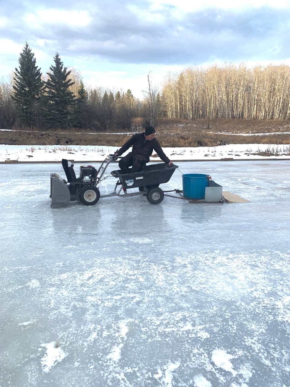
As I mentioned winter conditions, Judith popped this amazing homemade Zamboni photo (complete with hot-water spray!) out of Millarville, Alta! Here's hoping that elevation of 1185m keeps the ice in fair shape!

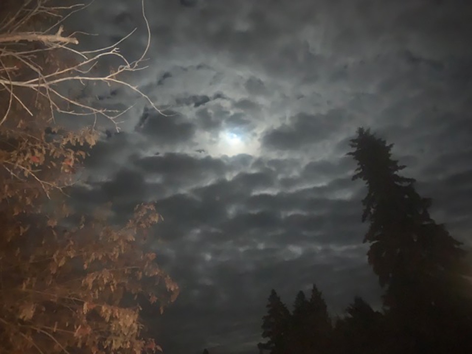
And Tim caught this great shot of moonlight through the cloud.

You can submit your weather photos here, or email them over to Kevin Stanfield


