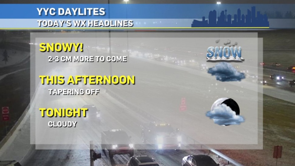
CALGARY -- By the time you read this, the snow event will be at least halfway over. A wave of wet, heavy snow piles throughout the morning, with an expected snowfall amount ranging from 4 to 6 cm here in our city. This afternoon and evening, the snow type will start to shift. An arctic front will swing through and knock our temperatures down and thus will further crystallize our snowflakes and "lighten" the top layer of snow.
The only morning snowfall warnings from this system remained west of us in the Okanogan Valley and Shuswap, and they were only active for up to 10 cm.
Today and tomorrow will be great for the kidlets to dress warm and head outside to enjoy this fresh wave, as melting weather is on the way!
The biggest threat moving through the end of this week is going to be the morning commute. Warming conditions will bring us back to marginally positive high temperatures, though we'll maintain subzero lows. This fluctuation means we'll see a melt-refreeze cycle starting Friday morning, creating another threat on those roads.
Here's the five-day forecast:
Today:
- Snowy (4-6 cm total)
- Daytime high: 0 C
- Evening: snow, low -9 C
Tomorrow:
- Mainly cloudy, chance for light snow
- Daytime high: -7 C
- Evening: mainly cloudy, low -11 C
Thursday:
- Mostly sunny
- Daytime high: 1 C
- Evening: some cloud, low -8 C
Friday:
- Partly cloudy
- Daytime high: 3 C
- Evening: some cloud, low -4 C
Saturday:
- Sunny
- Daytime high: 4 C
- Evening: mainly clear, low -5 C
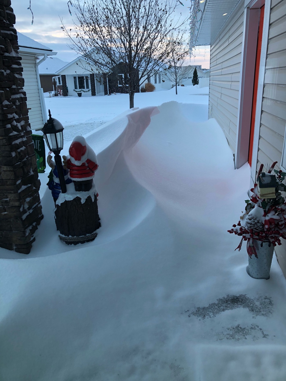
Thanks to Priscilla for sending in the Medicine Hat aftermath from the weekend's snowfall!

You can submit your weather photos here.


