This article will be referred to for the rest of the week – we're into a Rex Block!
When high pressure slides in north of a low pressure area, it's termed a Rex Block. This one is par for the course, too, as they usually occur along the Pacific coast. Since air normally flows west-to-east, when it forms into this backwards S-bend, the "block" that occurs will keep us locked in beneath high pressure for a few days. So, our five-day forecast is going to ramp up our heat under sunny conditions!
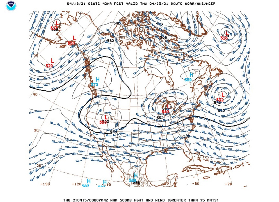
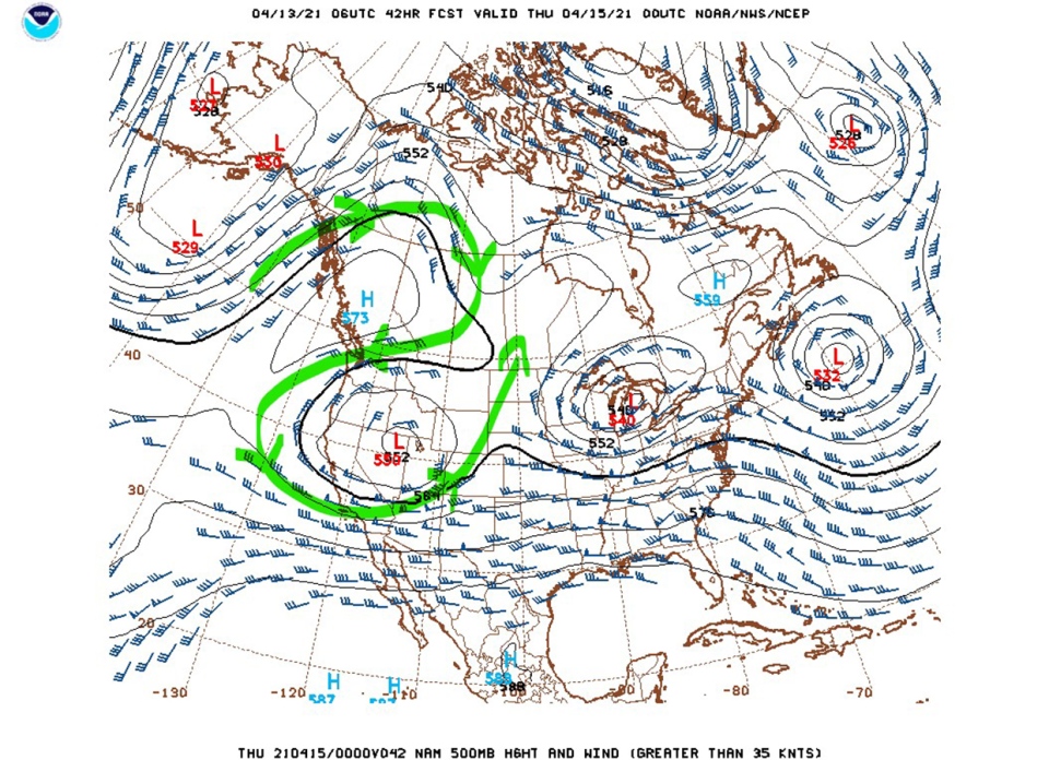
Temperatures will likely rise day-to-day across much of Alberta for the next few days as our energy budget experiences a surplus (AKA, we get warmer and have less 'stuff' to cool us off). The minor downside, if you can even call it that, comes in the form of our overnight low temperatures. Because we're maintaining a lack of cloud, we have nothing to insulate whatever heat we gain in our daylight hours; this means we'll get some pretty cool mornings throughout the forecast.
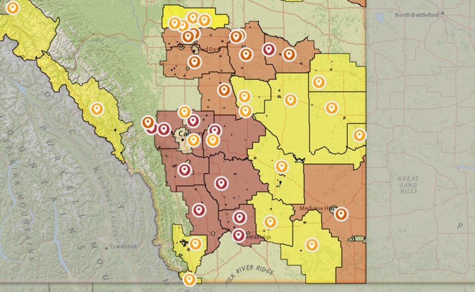
While this is the sort of forecast that bodes well for those hankering to be outdoors, it's not so great for our fire forecast conditions:
The latest addition is a restriction for Kneehill County. Check AlbertaFireBans.ca for the latest in your area.
Your five-day forecast:
Today:
- Sunny
- Daytime high: 6 C
- Evening: largely clear, low -5 C
Wednesday:
- Sunny
- Daytime high: 9 C
- Evening: largely clear, low -2 C
Thursday:
- Sunny
- Daytime high: 15 C
- Evening: largely clear, low -7 C
Friday:
- Sunny
- Daytime high: 16 C
- Evening: largely clear, low 1 C
Saturday:
- Sunny
- Daytime high: 18 C
- Evening: largely clear, low 1 C
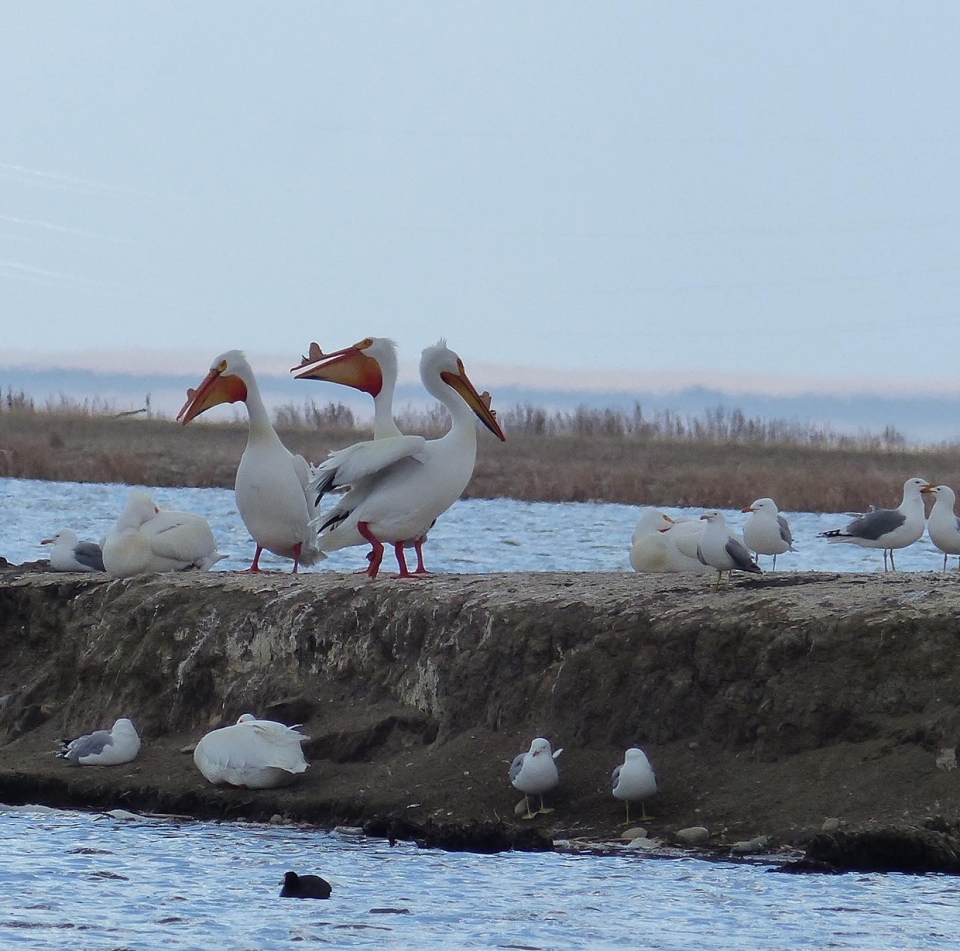
Our photos today will start with Patrice, snapping a picture entitled 'The Three Musketeers' at Frank Lake…
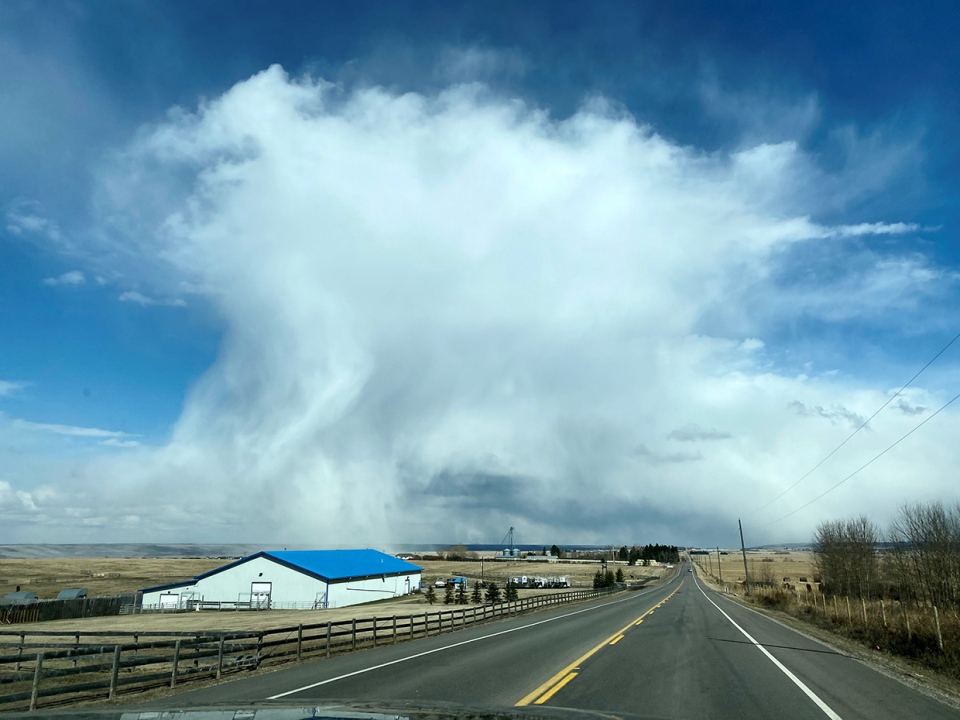
…Next, Jayne caught up with a cloud pattern over Harmony that featured some flurries flying…
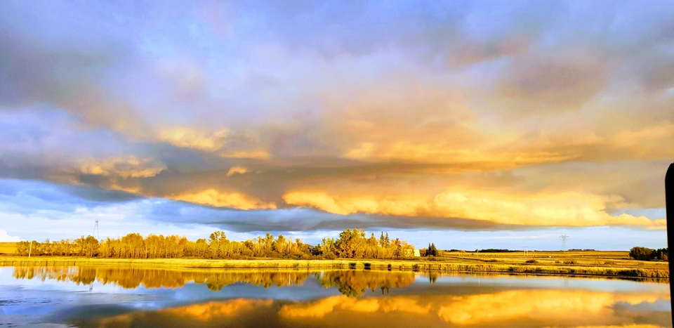
…And Gary snapped a brilliant photograph, with no location given!
You can submit your weather photos here, or email me: Kevin Stanfield
