CALGARY -- A couple days ago, I chatted about how our forecast was going to roll in phases. Today is Phase II.
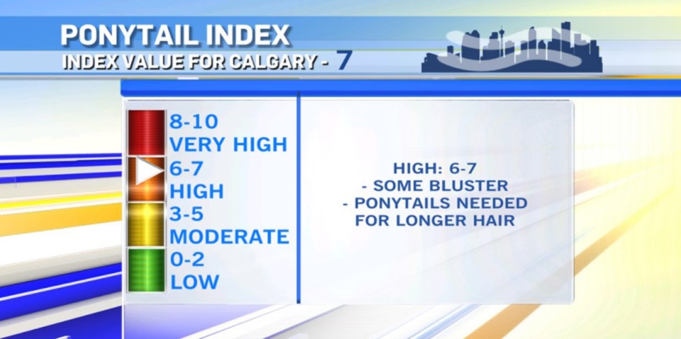
Our upper air pattern will enter a breakdown phase from a ridge to a trough, and the process pushes westerly wind across the foothills. The levity-position on this: I've set our Ponytail Index to a 7.
The less-joyful part: wind gusts could hit hurricane force in parts of our province today. Category-one hurricane speeds are from 119 to 153 km/h. Along the Nakiska Ridgetop, that happened already, with sustained winds at 6 a.m. topping at 137 km/h:
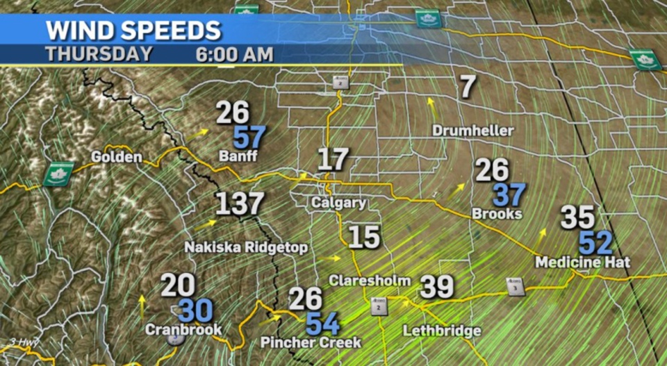
Median wind across the southern reaches of Alberta will likely peak in the early afternoon, and those who are pressure-sensitive will likely want a cold cloth on the forehead, too.
As I said, this is part of a breakdown phase aloft. That means instability. Tomorrow, we'll watch for a good dose of cooling, potentially creating a downtrend (falling temps through the daylight hours) as we go, and almost certainly generating flurries tomorrow evening, which will roll into Saturday.
Here's the five-day forecast:
Today:
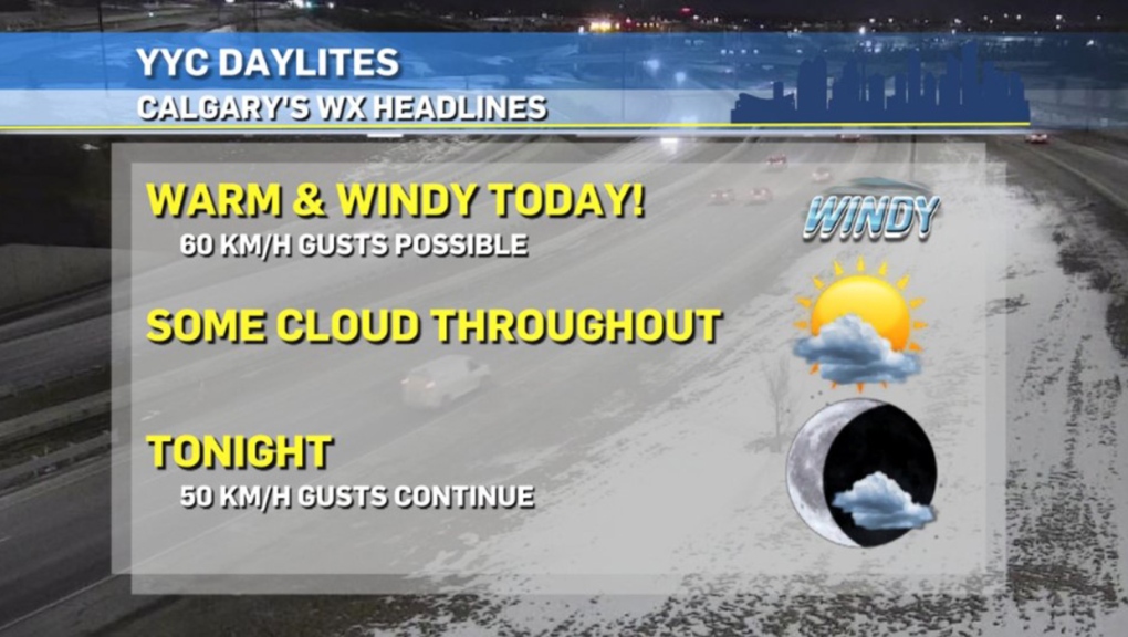
- Partly cloudy, windy! Gusts in the 60 km/h range
- Daytime high: 5 C
- Evening: some cloud, low -4 C
Friday:
- Afternoon snow showers, cooling
- Daytime high: -1 C
- Evening: more snow, low -9 C
Saturday:
- AM flurries, then partly cloudy
- Daytime high: -5 C
- Evening: some cloud, low -9 C
Sunday:
- Partly cloudy
- Daytime high: 7 C
- Evening: some cloud, low -1 C
Monday:
- Mainly sunny
- Daytime high: 5 C
- Evening: some flurries, low -8 C
Jason and Vivien both took advantage of a mild, clear day to capture great photographs of the city!
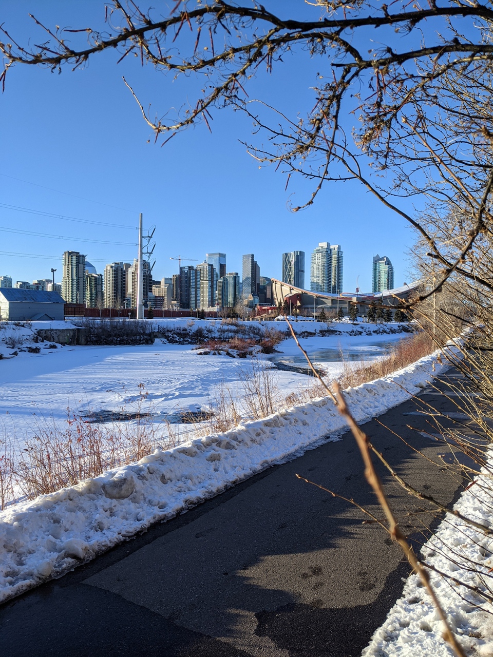
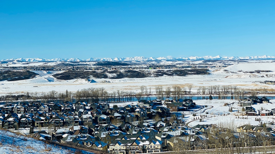
You can submit your weather photos here, or email me here! Kevin Stanfield
