CALGARY -- It looks nice out. Really, it does! But now, we can see the end in sight.
Our streak of positive days through this meteorological (and astronomical) winter will be hard-capped by an Arctic outbreak that's expected to arrive Thursday.
The lead-up involves westerly wind crossing the Rockies, which peaks tomorrow with 40+ km/h gusts. That wave of high pressure stagnates in British Columbia, then cooler air is injected from the exit region of that ridge, and just… collects here.
We'll get to a wave of instability Thursday evening that pushes in a gentle wave of snow, which will intensify overnight and leave us with a fresh layer Friday.
So far across the scope of this meteorological winter, we've had only a single day with a high below -10 C. The cooling trend will continue beyond Friday, and could start adding more tallies to the 'cold column' before we know it.
Here's the five-day forecast:
Today:
- Mainly sunny
- Daytime high: 2 C
- Evening: some cloud, low -7 C
Tomorrow:
- Mainly sunny
- Daytime high: 6 C
- Evening: mainly clear, low -3 C
Wednesday:
- Partly cloudy
- Daytime high: 3 C
- Evening: some cloud, low -9 C
Thursday:
- Building cloud to late flurries
- Daytime high: -3 C
- Evening: a wee spot of cloud, low -9 C
Friday:
- Scattered flurries
- Daytime high: -6 C
- Evening: some cloud, low -13 C
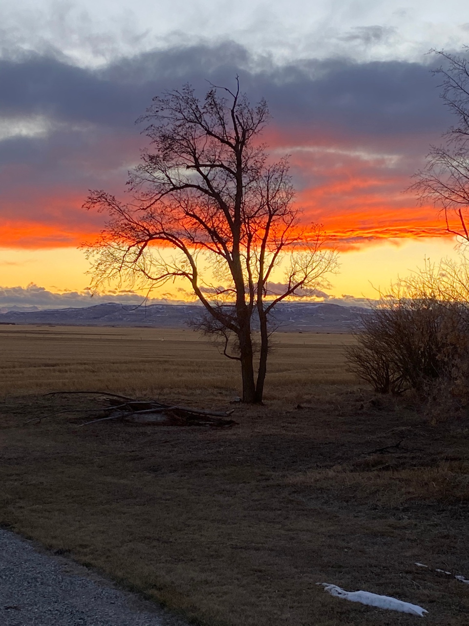
On we go to photos! Rhonda captured this shot in southern Alberta…

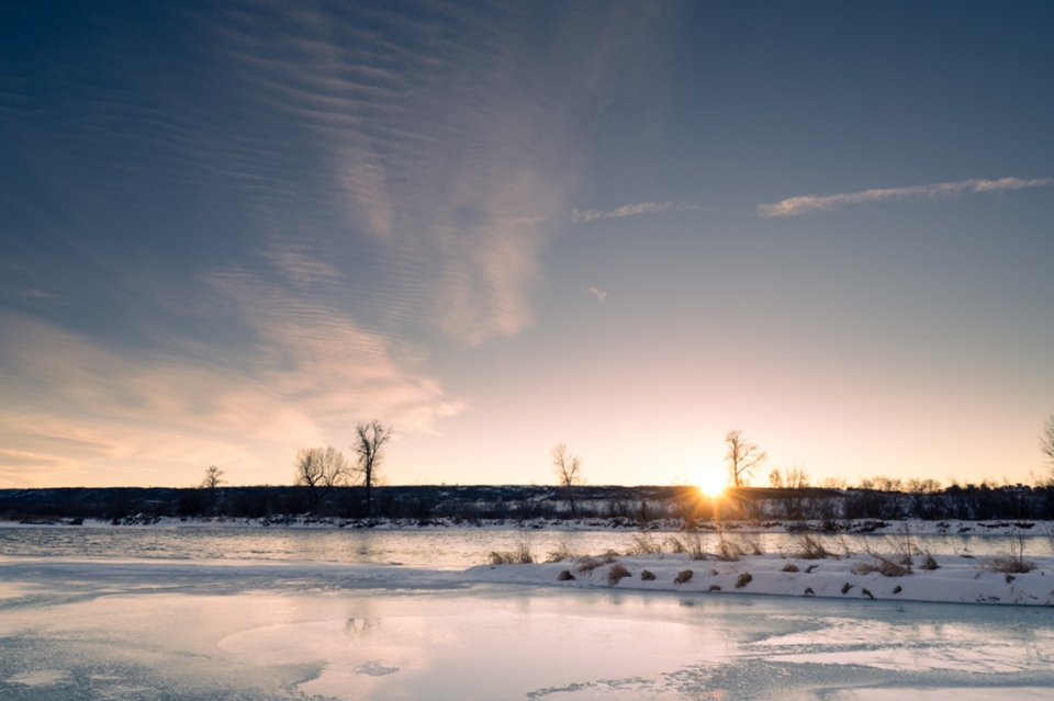
… And "Joe along the Bow" took this one!

You can submit your weather photos here, or email me here! Kevin Stanfield


