CALGARY -- Today, we’re starting with the well-established garden. A well-established garden doesn’t really need to be watered; the roots run deep, they can easily hold a lot of the moisture they need to keep themselves hydrated through the often-dry summer months.
What does that have to do with our forecast? Quite a bit, actually.
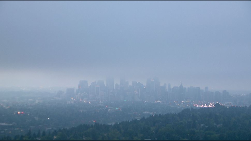
Crops are maturing, and their roots have been hoarding plenty of water from spring; now that we’re into a sequence of heat, that water is transpiring (evaporation via aerial parts, like stems/leaves) and creating a lot of humidity. Check out our towercam from this morning:

This cycle of humidity is going to make parts of western Canada feel a lot like eastern Canada; early on today (6 a.m.), Calgary’s 18 C base temperature, coupled with 85 per cent humidity, felt more like 23 C. When we get up to the high for the day, yes, our humidity value should drop into the 30 to 40 per cent range, but that’ll be enough to push our humidex into the low 30’s.
This can be dangerous for the adventurous who are keen for physical activity; sweat acts to push moisture from the skin, which evaporates and thus cools us; but when there’s already saturation out there, there isn’t a strong vehicle for that sweat to evaporate into, and therefore, our body’s cooling mechanisms are less effective. The answers are simple: drink plenty of water, and take frequent breaks.
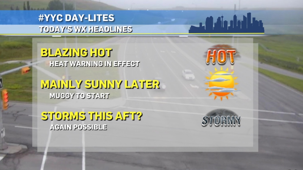
The Pacific low south of Alaska is going to continue pushing itself southward and strengthening, which acts as a tent stake to let our high pressure ridge billow ever larger. We’re staying toasty for a few days as a result, with westerly outflow off the Rockies potentially triggering with this layer of moisture to create some thunderstorms.
We have the moisture.
We have the heat.
What we may not have: the instability. High pressure areas are the result of subsidence, or the act of air falling through the atmosphere. It’s a warming mechanism, but it’s helped keep this moisture near the surface; along with the heat. BUT, if that rising force can push beyond this layer of capped stability, severe thunderstorms aren’t out of the question. Note that this possibility will exist for the next few days; you can see the potential formations in the afternoon and evening with a quick look west at cloud tops!
Here’s our high-pressure five-day.
Today:
Mainly sunny
Daytime high: 29 C
Evening: mainly clear, low 16 C
Thursday:
Mainly sunny
Daytime high: 28 C
Evening: clear, low 16 C
Friday:
Partly cloudy
Daytime high: 25 C
Evening: clear, low 15 C
Saturday:
Partly cloudy
Daytime high: 27 C
Evening: clear, low 16 C
Sunday:
Mainly sunny
Daytime high: 29 C
Evening: clear, low 14 C
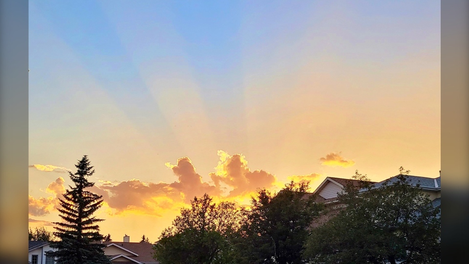
Andrew was doing some yardwork and happened upon this magnificent shot of the sunset.

You can submit your weather photos here.


