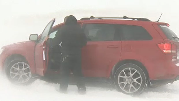
CALGARY -- What's worse than an Arctic air mass bringing bitter cold to southern Alberta this weekend? The fact it’s going to stick around for the foreseeable future.
CTV Calgary meteorologist Kevin Stanfield says current forecasting models don't extend far enough to show when we'll get a reprieve.
"We're looking at a period, starting Saturday, where the temperature falls 10 degrees below normal, on the high side, then stays there for at least a week," said Stanfield.
"Low temperatures will push into the minus-30s C."
And wind will only compound the cold.
"I'm not ruling out the possibility of a wind chill that pushes -40," said Stanfield.
According to Environment Canada, the temperature is forecast to drop to -21 C overnight Thursday, then things will warm up ever-so-slightly to -16 C overnight Friday before the cold really settles in Saturday, when the temperature is forecast to fall to a low of -24 C.
It will stay in the -20 C and -30 C range for several days.
"The models don't stretch out far enough for us to put a gauge on (when it will warm up)," said Stanfield.
Albertans are encouraged to stay indoors when possible during the cold snap and if you have to go outside, dress in warm layers.
Electricity provider ENMAX says the first cold snap of 2020 will also be a big draw on energy.
"For every 10 degrees below zero, a typical Alberta home will use eight per cent more electricity and 40 per cent more natural gas," the company said in a release.
During last February's cold snap, energy consumption in Calgary went up by over 22,000 megawatt hours, equivalent to the amount expended to power 3,400 homes for a full year.
The current winter record for consumption is 1,653 MW, set in 2013.


