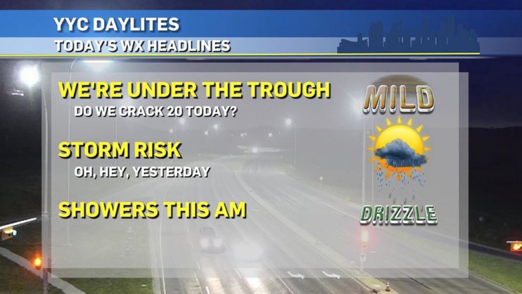
CALGARY -- The stacked low pressure air mass from yesterday is going to continue skirting toward the east-northeast and run a track along the boundaries between prairie provinces and our nation’s northern territories today. That means we’re not out of the woods just yet for wet weather.
This low-pressure base (as I write this Wednesday just before 6 a.m.) is pulling plenty of moisture off the foothills and depositing it within a couple hundred kilometres on a southwesterly track; as the low continues to move eastward, that could open Calgary for some morning showers, though if we see enough instability from this band, weak thundershowers may develop. We’re minutes from the sunrise, so we won’t qualify these as being "nocturnal" thundershowers, unlike our neighbours to the north; central Alberta saw numerous weak bands of storm activity push through.
Early this evening, another band of showers may slide in with a stormy accompaniment; if — and it’s a big if — we see a storm reach its peak potential, it would equate to nickel-sized hail in isolated areas. The better potential for this sort of activity once again falls beneath the purview of central Alberta.
Here’s the five-day forecast:
Today:
- Early shower potential, late storm risk
- Daytime high: 19C
- Evening: some cloud, low 7C
Tomorrow:
- Partly cloudy
- Daytime high: 21C
- Evening: clearing cloud, low 9C
Friday:
- Mainly sunny
- Daytime high: 22C
- Evening: mainly clear, low 11C
Saturday:
- Partly cloudy
- Daytime high: 25C
- Evening: mainly clear, low 11C
Sunday:
- Mainly sunny
- Daytime high: 26C
- Evening: mainly clear, low 10C

Jacob took this perfect snap at Moraine Lake. Thanks for sending along, Jacob!
You can submit your weather photos here.


