Teacher charged in historical sexual assault of Calgary teenage girl
Calgary police have charged a teacher with the alleged sexual assault of a teenage girl more than 20 years ago.
Unable to retrieve weather data

Calgary police have charged a teacher with the alleged sexual assault of a teenage girl more than 20 years ago.

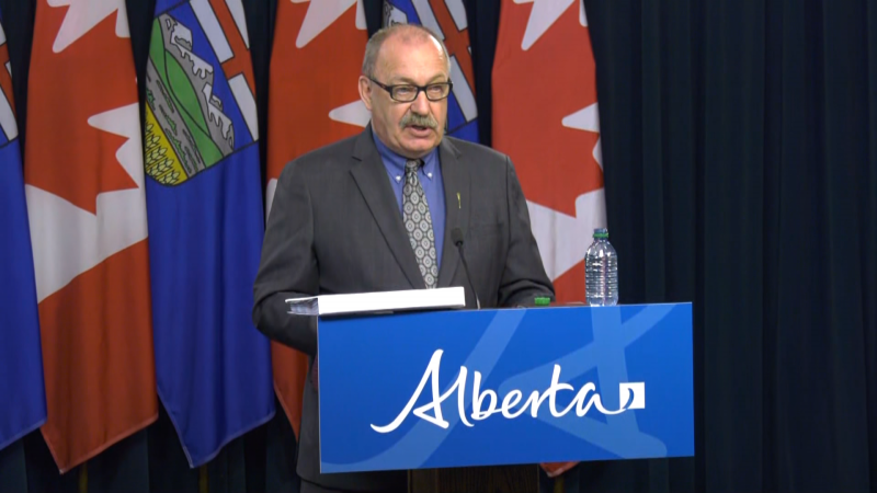
Alberta's municipal affairs minister declined Monday to clarify whether towns and cities would still get their say before changes are made to a contentious bill that gives the province broad authority to fire local councillors.

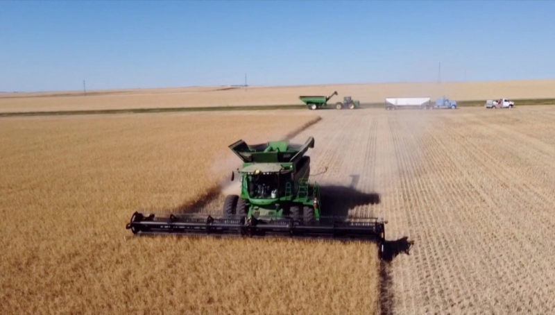
Parts of southern Alberta are expecting significant rainfall over the next few days, which is welcome news for farmers.
The owner of three Calgary dogs that got loose and mauled a woman to death in 2022 has been ordered to pay a $15,000 fine within one year and banned from owning any animal for 15 years.
Some Shaw customers in north Calgary experienced a service outage on Monday after an attempted theft of copper wire.
There is lots of rain on tap for southern Alberta, with the bulk of it falling Monday night and through Tuesday.
Wildlife officers are working to catch and relocate a bear that has been active in a southwest Calgary neighbourhood.
Appeals by the two men convicted in the deaths of a pair of Métis hunters in Alberta in 2020 will not be heard in court, justices in Edmonton decided on Monday.
Residents at the Airdrie Care Community had the chance to get up close and personal with a flock of colourful parrots on Sunday.

Prime Minister Justin Trudeau's government is proposing a suite of new measures and law changes aimed at countering foreign interference in Canada, amid extensive scrutiny over past meddling attempts and an ever-evolving threat landscape.
The long-awaited first crewed test flight of Boeing's new Starliner space capsule was called off for at least 24 hours over a technical issue that launch teams were unable to resolve in time for the planned Monday night lift-off.
Calgary police have charged a teacher with the alleged sexual assault of a teenage girl more than 20 years ago.
Defence lawyers of Jeremy Skibicki have admitted in court the accused killed four Indigenous women, but argues he is not criminally responsible for the deaths by way of mental disorder – this latest development has triggered a judge-alone trial rather than a jury trial.
The owner of three Calgary dogs that got loose and mauled a woman to death in 2022 has been ordered to pay a $15,000 fine within one year and banned from owning any animal for 15 years.
Students at a Que. school are accusing their teacher of unlawfully selling their art online. Genevieve Beauchemin has the details.
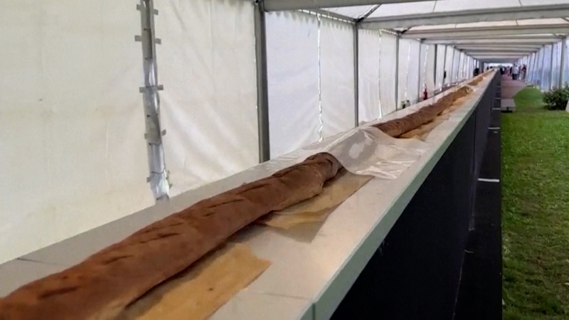
A team of bakers were awarded a Guinness World Record for creating the worlds longest baguette, measuring approximately 140 metres long.

