Stormy weather possible in Calgary this weekend as heat warnings continue
The ridge of high pressure over us is starting to fade, somewhat. That doesn't mean the heat's gone – it's just that the ridge is falling back. The upper shelf of it provides westerlies crossing the Rockies which may develop into thundershowers.
These storms could be inhibited by our 'capping layer' – that is to say, elements at play which inhibit convective growth. So, the risk will remain Friday, Saturday, and Sunday, but we have few guarantees until the setup begins west of us.
Watch for towering cumulus as you get the weekend going, and be prepared to change those outdoor plans.
Further to outdoor plans, I mentioned heat already; heat warnings will continue for the entirety of our five day forecast, even with the slight stoppage to heat warning conditions Sunday (28 C instead of 29 C+), but rise to the warmest point in our forecast Monday.
Your five day forecast:
Thursday
Mainly sunny
Daytime high: 30 C
Evening: mainly clear, low 14 C
Friday
Sunny, afternoon/evening storm risk
Daytime high: 30 C
Evening: some cloud, chance of showers or thundershowers, low 15 C
Saturday
Sunny, chance of showers, thundershowers
Daytime high: 30 C
Evening: some cloud, chance of showers, low 15 C
Sunday
Sunny, chance of showers, thundershowers
Daytime high: 28 C
Evening: chance of showers or thundershowers, low 14 C
Monday
Partly cloudy
Daytime high: 31 C
Evening: some cloud, low 15 C
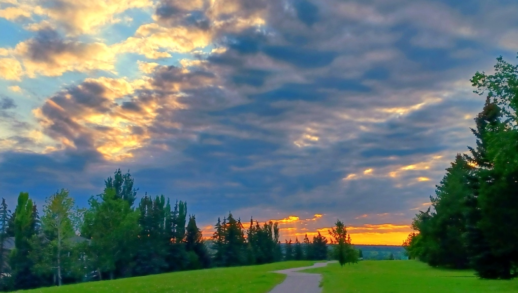
Richard sent us this amazing pic of the other night down at McKenzie Lake. Beautiful!
 The weather pic of the day for Thursday, July 28, 2022. (Richard S.) Submit your weather photos here to see them featured in our article, and perhaps even as the pic of the day during our news at six! You can also share on Twitter, or to our Instagram at @CTVCalgaryWeather.
CTVNews.ca Top Stories

Justin Trudeau's set to go after the Liberals pick his replacement, what now?
Prime Minister Justin Trudeau, announcing Monday that he intends to resign as Liberal leader and prime minister as soon as his party names his replacement, has set a series of political machinations in motion.
Justin Trudeau steps down as Liberal leader. Who are the top contenders to replace him?
With Prime Minister Justin Trudeau's resignation as Liberal party leader, several well-known political faces may be waiting in the wings for their opportunity to take his place.
'Together, what a great nation it would be': Donald Trump, Elon Musk react to Justin Trudeau's resignation
Amid news of Prime Minister Justin Trudeau's resignation as leader of the Liberal party on Monday morning, reactions from prominent figures began piling in.
Strong earthquake kills at least 95 people in western China near Mount Everest
A strong earthquake shook a high-altitude region of western China and areas of Nepal on Tuesday, damaging hundreds of houses, littering streets with rubble and killing at least 95 people in Tibet.
Doug Ford snaps back at Donald Trump's Canada taunts with offer to 'buy Alaska'
Ontario Premier Doug Ford has snapped back at Donald Trump’s frequent taunts about treating Canada as a U.S. state with a counterproposal: buying Alaska.
Trudeau resignation: recap key moments, analysis, reaction as it happened
Prime Minister Justin Trudeau has stepped down as Liberal leader. Here's a recap of key moments, analysis, and reaction as it happened.
Trudeau says Parliament is 'prorogued' until March. What does that mean?
In his resignation speech on Monday, Prime Minister Justin Trudeau announced that Parliament would be prorogued until March, which will give the Liberal party time to find a new leader ahead of an expected confidence vote and early election.
Justin Trudeau resignation: Here's what he said in Ottawa today
Prime Minister Justin Trudeau delivered a speech about his political future Monday morning outside Rideau Cottage in Ottawa. Here's the message he delivered to Canadians.
Justin Trudeau is resigning after an historic political tenure, here's a look back at his career-defining moments
In a seismic political move, Justin Trudeau has announced his intention to step down as leader of the Liberal Party of Canada and prime minister, once his successor is named. This decision comes after more than nine years in the country's top job and nearly 12 years at the helm of his party.


