
CALGARY -- Upper-ridging and ongoing moisture from transpiration continue to bring about storm potential, though for the past few days, we’ve seen limited results on Calgary’s periphery.
It stands to reason that if we do see a storm roll through, hail will be the major threat, as storms forming in these environments tend to have substantial hail cores.
The DayLites will seem very familiar, with ongoing humidex values pushing beyond 30 degrees again and storms possible with similar consistency to what we’ve dealt with since Monday.
We’re seeing our high-pressure ridge get strung out by lows on either side, as this omega block continues along. This is a good situation for us; these omega blocks take pairs of lows with a central high pressure block, and therefore our motion of air is stymied. We’re under this high until Tuesday – that means excess warmth through to Monday before a gentle return to normal.
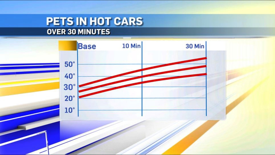
Lastly, this chart below shows temperatures in a stationary vehicle. Please don’t leave pets in hot cars.
Here’s what we’re chasing for the next five through our August Long Weekend.
Today:
Partly cloudy, evening scattered storm risk
Daytime high: 27 C
Evening: clear, low 17 C
Saturday:
Partly cloudy, evening scattered storm risk
Daytime high: 27 C
Evening: clear, low 16 C
Sunday:
Mainly sunny
Daytime high: 29 C
Evening: clear, low 15 C
Monday:
Mainly sunny
Daytime high: 30 C
Evening: some showers possible through a cold front, low 12 C
Tuesday:
Mainly sunny
Daytime high: 23 C
Evening: clear, low 12 C
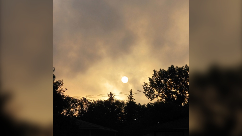
Liz tracked the sunrise through a muggy morning today. Thanks, Liz!
You can submit your weather photos here.


