
CALGARY -- Having less to write home about is not a bad thing.
Yesterday’s band of storms was a doozy. It knocked out power in a few communities, with widespread hail (where it came down!). The initial wave around 4 o’clock dodged Calgary completely, then a secondary piled through around 7 o’clock and offered pea-sized hail to a few areas.
Our weekend wave is looking pretty set in stone: today, weak high pressure dominates the forecast, to be ushered away by a large trough sweeping out of the Gulf of Alaska. If I’m using the word “Alaska” in the coming forecast, you best believe a dip below normal is probably on the horizon. Today stays calm, as conditions go, with shower potential building late Friday and steadying from there. Some instability may build, but thundershower risks through the weekend won't likely warrant watches or warnings.
I’ve been saying it on-air and I’ll say it again, regarding today: try to find yourself the inside track on a tee-time, if that’s your fancy. You’ll be glad you did.
Here’s the forecast:
Today:
- Sunny
- Daytime high: 22°
- Wind: Light!
- Tonight: some cloud, low 13°
Tomorrow:
- Partly cloudy
- Daytime high: 23°
- Evening: building cloud into scattered showers, low 12°
Saturday:
- Rain, chance for afternoon storms
- Daytime high: 17°
- Evening: rain, low 9°
Sunday:
- Rain, chance for afternoon storms
- Daytime high: 15°
- Evening: rain, low 9°
Monday:
- Rain
- Daytime high: 15°
- Evening: rain, low 9°
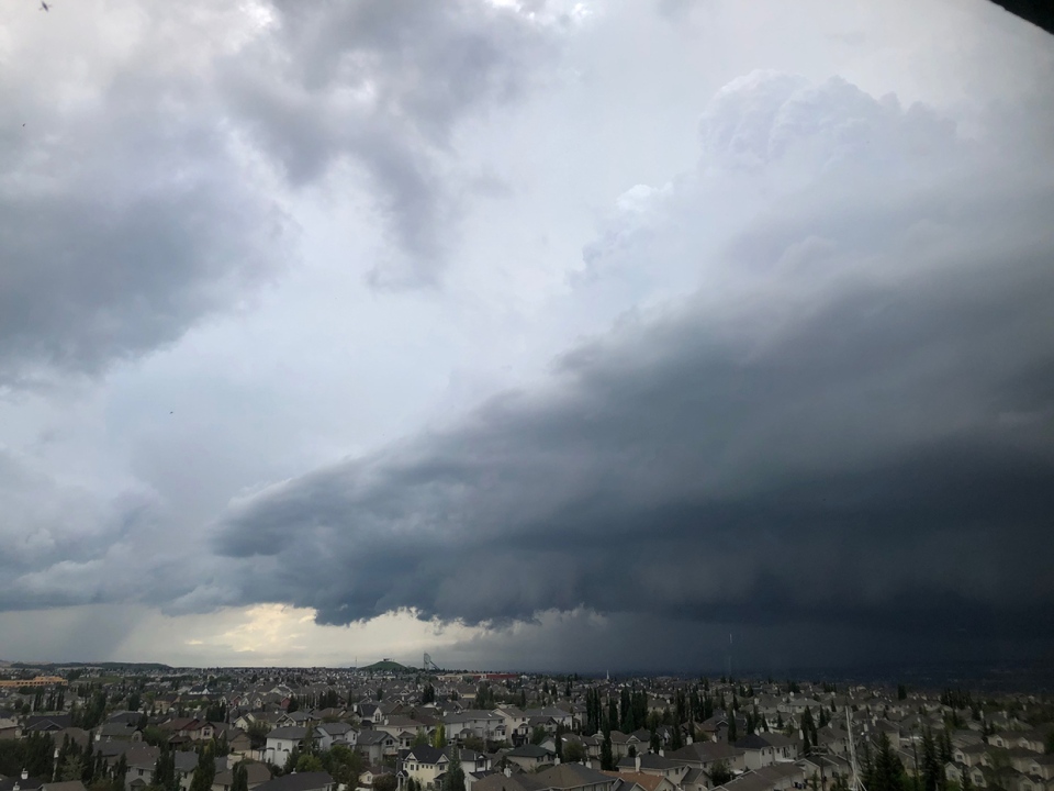
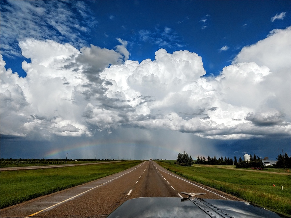
We’ll close with some photographs from yesterday:
Garry sent us this shot of the thunderhead after it left Cardston behind
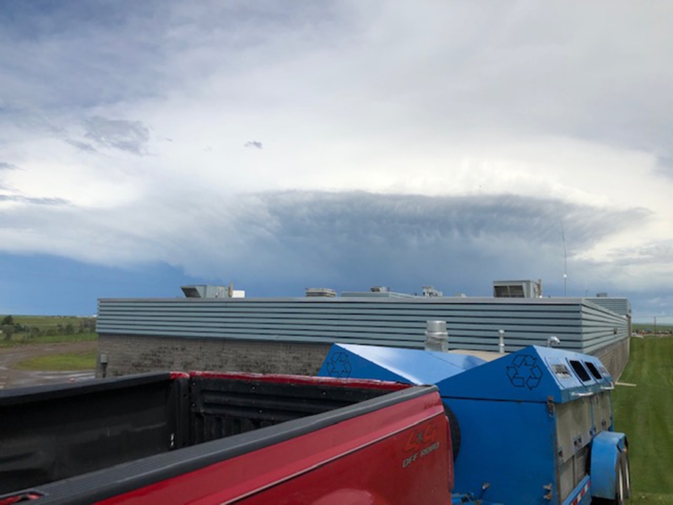
Photo #2 was taken from Coach Hill as the evening storms rolled in by Shelley
Craig sent this incredible shot in Wheatland County of the storm’s passage, too!
You can submit your weather photos here!


")


