
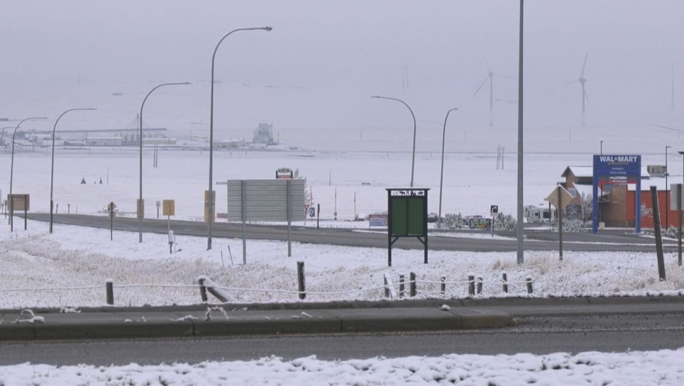
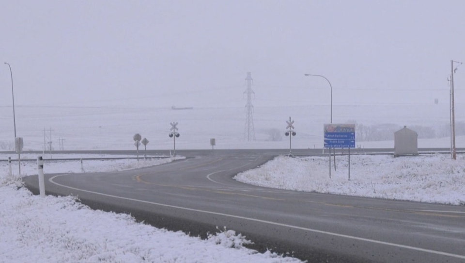
CALGARY -- Many residents are waking up to snow and colder temperatures on Saturday morning, a drastic change from what the weather was like earlier in the week.
An overnight storm has brought snow back to the region, but the worst is yet to come, Environment Canada says.
"An intense winter storm developing in the American Northwest will spread 20 to 30 cm of heavy snow across southern Alberta, starting in the Pincher Creek and Cardston regions late this morning. This snow will spread northeastwards from Pincher Creek to Medicine Hat by evening," the agency wrote in a bulletin Saturday morning.
It says the storm will build through the afternoon and into Sunday, with the heavy snow tapering off by Monday.
By that time, about 30 to 40 centimetres will have fallen throughout the southern Alberta region, but higher amounts are forecasted in the Crowsnest Pass area and near the Cypress Hills.
Environment Canada says residents should reconsider any non-essential travel plans until the weather system passes.
"Rapidly accumulating snow could make travel difficult over some locations. Visibility may be suddenly reduced at times in heavy snow," it wrote.
A full list of affected regions in Alberta is available on the Environment Canada website.
A full weather forecast for Calgary and Lethbridge can be found on CTV Calgary's weather page.


