Intermittent precipitation expected for central and southern Alberta until Thursday
Heavy, wet snow turned to slush in many communities, including Calgary, early Tuesday.
By the middle of the morning commute, most roads were just wet as traffic picked up and road crews applied melting-agents where needed.
As expected the upsloping nature of this large system has produced highly variable precipitation totals – and this is expected to continue with the centre of the main low pressure system situated along the southern portion of Saskatchewan.
Moisture entering the low has been rain with the main source being the southeastern Pacific. But as that rain is wrapping around the low it has been encountering colder air from the north and turning into snow.
The counter-clockwise rotation associated with this low is then driving precipitation through central and southern Alberta and pushing it back against the foothills, and until this system is pushed out this same scenario will continue to repeat.
 Satellite and radar image from April 30, 2024. The white arrows are showing the direction of flow around the low.
On Monday, Environment and Climate Change Canada (ECCC) issued snowfall warnings west of Calgary and a large special weather statement for Calgary and areas along the foothills.
Those advisories were continued Tuesday for most communities and even expanded in some areas. Snowfall warnings may be further expanded on Tuesday and Wednesday as more forecast certainty becomes available.
 ECCC issued special weather statements (pink) and snowfall warnings (white) on Tuesday, April 30, 2024.
As of 9 a.m. Tuesday many highways west of Calgary were rated as snow-coved and/or icy by 511 Alberta.

Accumulating precipitation, precipitation types, and rates all likely contributed to the measureable impact to travel throughout those same areas on Tuesday morning. This negative impact is likely to get worse as snow and rain continue throughout the week.

At that same time the 511 Alberta cameras were showing mostly wet roads in southwestern Alberta with accumulating snow west of Calgary along the Trans-Canada Highway.

Daytime highs will remain 9 C to 11 C below average until Friday, with overnight temperatures closer to seasonal.

In their special weather statement Tuesday, ECCC noted precipitation will continue until Thursday morning with the multi-day event totals on the high-end are expected to measure between 10 to 25 centimetres.
“The highest amounts will fall west of Highway 2. The snow will be heavy and wet, and will be mixed with rain in some areas, so total snowfall accumulations will vary widely.”
For the latest ECCC weather advisories click here. For the latest road conditions from 511 Alberta click here.

CTVNews.ca Top Stories
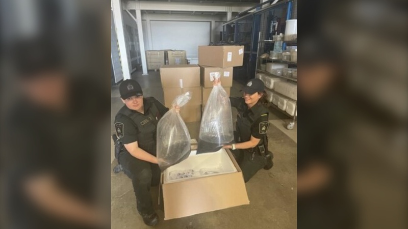
$500K-worth of elvers seized at Toronto airport
Fishery and border service officers seized more than 100 kilograms of unauthorized elvers at the Toronto Pearson International Airport on Wednesday.
Member of Israel's War Cabinet says he'll quit June 8 unless there's new war plan
Benny Gantz, a centrist member of Israel’s three-member War Cabinet, threatened on Saturday to resign from the government if it doesn't adopt a new plan in three weeks' time for the war in Gaza.
Serial sexual offender linked to unsolved 1970s homicides of four Calgary girls, women
An investigation into unsolved historical homicides from the 1970s has linked the deaths of two girls and two young women in and around Calgary to a now-deceased serial offender.
To plant or not to plant? Gardening tips for May long weekend
May long weekend is finally here, and with the extra time off you may be getting the itch to head out to your garden and plant. However, the old debate whether you should plant now, or wait, is still ever-present.
His SUV was stolen on Montreal's South Shore. Then he got a $156 parking ticket
A couple is frustrated after their SUV was stolen from Montreal's South Shore in March and they received a parking ticket for the same vehicle last week.
Fort McMurray evacuees welcomed home Saturday as crews make progress on wildfire
Residents of Fort of McMurray who were displaced over wildfire concerns were told to return home Saturday.
Woman with liver failure rejected for a transplant after medical review highlights alcohol use
For nearly three months, Amanda Huska has been in an Ontario hospital, part of it on life support, because of severe liver failure. Her history of alcohol use is getting in the way of her only potential treatment: a liver transplant.
Scottie Scheffler, from the course to jail and back: What to know about his PGA Championship arrest
Two-time Masters champion Scottie Scheffler was arrested after police say he dragged an officer while trying to get around the scene of a fatal accident Friday ahead of the second round of the PGA Championship.
B.C. man 'attacked suddenly' by adult grizzly near Alberta boundary: RCMP
A B.C. man is recovering from multiple injuries after he was "attacked suddenly" by an adult grizzly bear near Elkford Thursday afternoon.


