Kevin Stanfield's forecast: A milder Friday for Calgary before weekend snow
Following a warmer day yesterday (Calgary finished up around 5 C), we’ll cool a good bit today, though not past the melting point. Another day in the positives is on tap.
An alert-free day is also expected locally, with spotty flurries being the main point of concern, along with a few gusts in parts of the province – not so much locally.
Until late Saturday, that is.
That’s when we expect the snow to start – there are some forecast models that push this to over 10 centimetres, and maybe (small maybe) I change my tune by this evening's forecasts on CTV, but those models are the isolated elements. Five to eight centimetres remains the call. Updates forthcoming, though, since the models calling for more might be on to something if this event gains some upslope ground.
It's all part of a breakaway system that will cool us off and keep things that way for a while longer. Distance modeling has us staying below zero on the high end until at least March 10.
YOUR FIVE-DAY CALGARY FORECAST
Friday
- Partly cloudy
- Daytime high: 2 C
- Evening: clear, low -10 C
Saturday
- Building cloud
- Daytime high: -3 C
- Evening: flurries, low -14 C
Sunday
- Snow
- Daytime high: -11 C
- Evening: mostly cloudy, low -16 C
Monday
- Partly cloudy, chance of flurries
- Daytime high: -9 C
- Evening: some cloud, low -12 C
Tuesday
- Partly cloudy
- Daytime high: -6 C
- Evening: some cloud, low -12 C
Peter in Nanton sent this photo in as a wave of snow passed by in front of the sun.
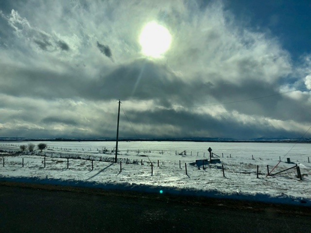 Viewer Peter's photo of a passing wave of snow near Nanton, Alta.
Submit your weather photos here to see them featured in our article, and perhaps even as the pic of the day during our News at Six! You can also share on Twitter, or to our Instagram at @CTVCalgaryWeather.
CTVNews.ca Top Stories

McGill University seeks emergency injunction to dismantle pro-Palestinian encampment
McGill University has filed a request for an injunction to have the pro-Palestinian encampment removed from its campus.
'State or state-sponsored actor' believed to be behind B.C. government hacks
The head of British Columbia’s civil service has revealed that a “state or state-sponsored actor” is behind multiple cyber-security incidents against provincial government networks.
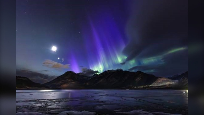
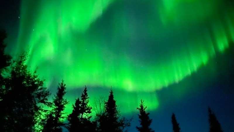
Spectacular aurora light show to be seen across Canada Friday night
A rare and severe solar storm is expected to bring spectacular displays of the northern lights, also known as aurora borealis, across much of Canada and parts of the United States on Friday night.
Which Canadian cities have the highest and lowest grocery prices?
Where you live plays a big factor in what you pay at the grocery store. And while it's no secret the same item may have a different price depending on the store, city or province, we wanted to see just how big the differences are, and why.
Swarm of 20,000 bees gather around woman’s car west of Toronto
A swarm of roughly 20,000 bees gathered around a woman’s car in the parking lot of Burlington Centre.
U.S. says Israel's use of U.S. arms likely violated international law, but evidence is incomplete
The Biden administration said Israel's use of U.S.-provided weapons in Gaza likely violated international humanitarian law but wartime conditions prevented U.S. officials from determining that for certain in specific airstrikes.
Barron Trump declines to serve as an RNC delegate
Former U.S. President Donald Trump's youngest son, Barron Trump, has declined to serve as a delegate at this summer’s Republican National Convention, according to a senior Trump campaign adviser and a statement from Melania Trump's office.
Mother assaulted by stranger while breastfeeding baby in her car: Vancouver police
A person was arrested in East Vancouver Thursday after allegedly entering a car while a mother was breastfeeding her four-month-old boy.
'We have laws': Premier Smith says police action justified in Calgary
The actions, including the decision to use non-lethal force, to disperse pro-Palestinian protesters from the University of Calgary campus were justified, Alberta Premier Danielle Smith said Friday.


