
CALGARY -- What a wild one yesterday!
Here's the time lapse we took from the top of Broadcast Hill of that setup moving through:
It starts with a beautiful sunrise, then a layer of mist rips through as our temperature rapidly stumbles, followed by a few blusters of snow that never ended up accumulating. Phew!
Environment Canada`s 24-hour look back states the peak gusts in Calgary were 55 km/h, with gusts at the airport rising to 67 km/h.
Moving right along…
West wind aloft is going to build up today, curling in a massive high-pressure ridge that southern Alberta will ride for a few days. That means a streak of double-digit highs is just 'round the bend! Because the associated air mass is striking out of the Pacific, moisture will be carried to the BC Interior. That will buffet the western slopes of the Rockies, which combines with westerly wind to produce chinook conditions. However, the full-blown arch is less likely, since we don't have a ton of wind on the way.
The "get outside" five-day forecast:
Today:
- Sunny
- Daytime high: 4 C
- Evening: mainly clear, low -3 C
Friday:
- Sunny
- Daytime high: 10 C
- Evening: mainly clear, low 0 C
Saturday:
- Sunny
- Daytime high: 11 C
- Evening: mainly clear, low 1 C
Sunday:
- Mostly sunny
- Daytime high: 12 C
- Evening: mainly clear, low 0 C
Monday:
- Partly cloudy
- Daytime high: 6 C
- Evening: mainly cloudy, low -4 C
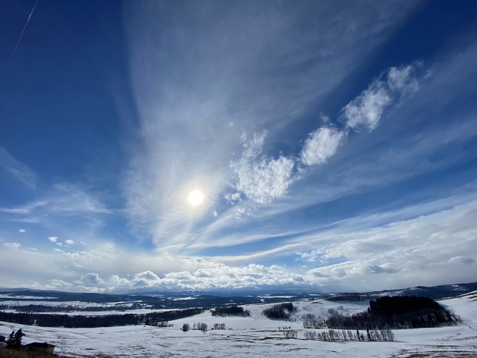
Our photos today are REALLY all over the map. We'll start with a cool shot from Ig, taken with an iPhone through a hunter’s scope in Turner Valley of an eagle and an eaglet!

Karen got this cool shot of trailing cloud rolling toward her view of the Rockies in Priddis !
You can submit your weather photos here, or email me: Kevin Stanfield


